
Revelstoke Photographer | Rock Climbing on the Foster River in Saskatchewan
Katee Pederson
“There’s climbing in Saskatchewan?”
A question I heard time and time again after telling friends that I was headed on a nine-day climbing expedition in my home province. With no documented roped climbing in Saskatchewan, I wasn’t surprised by the need to explain that the northern half of this prairie province is covered in granite and limestone rock part of the Canadian Shield.

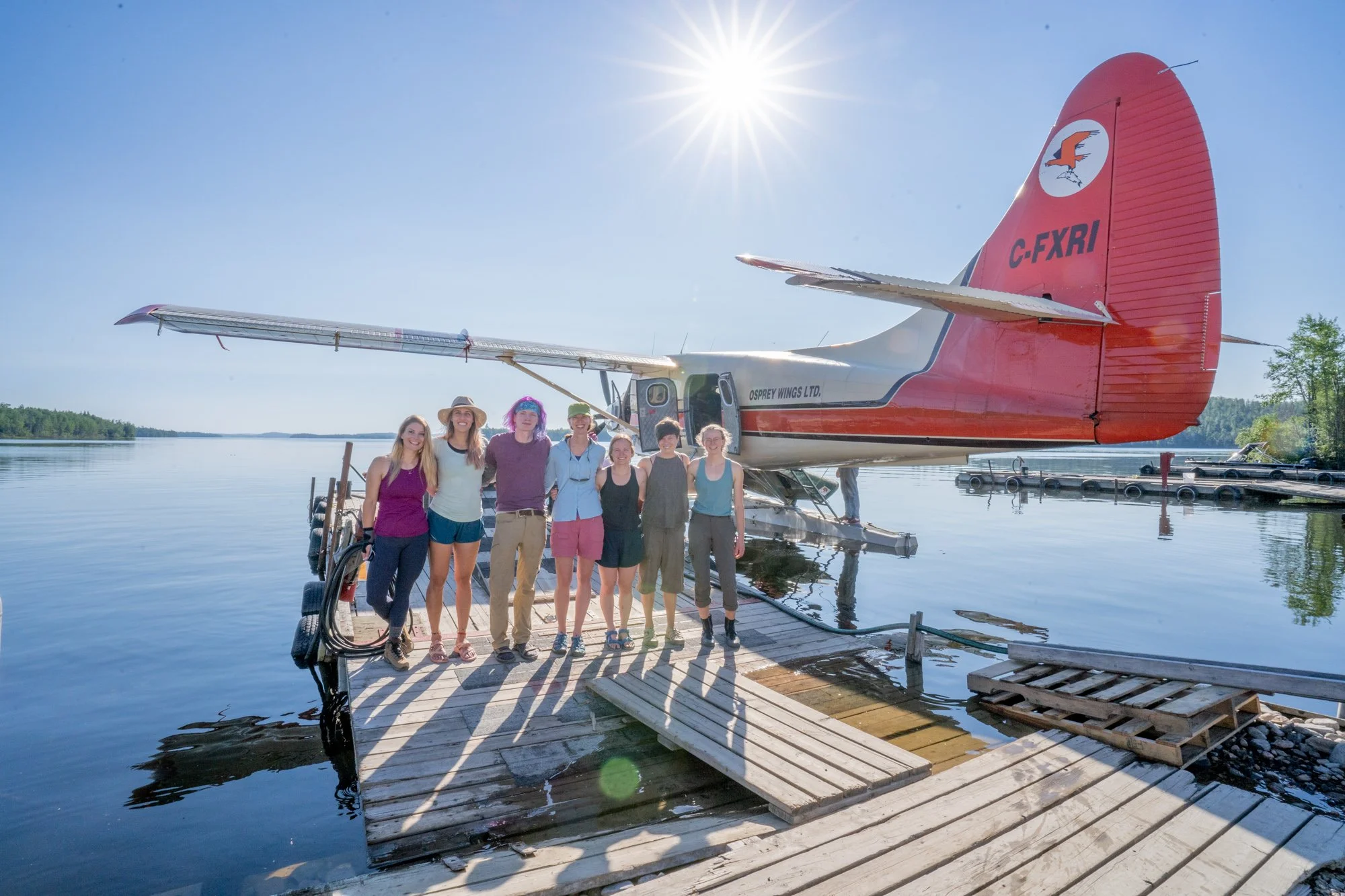
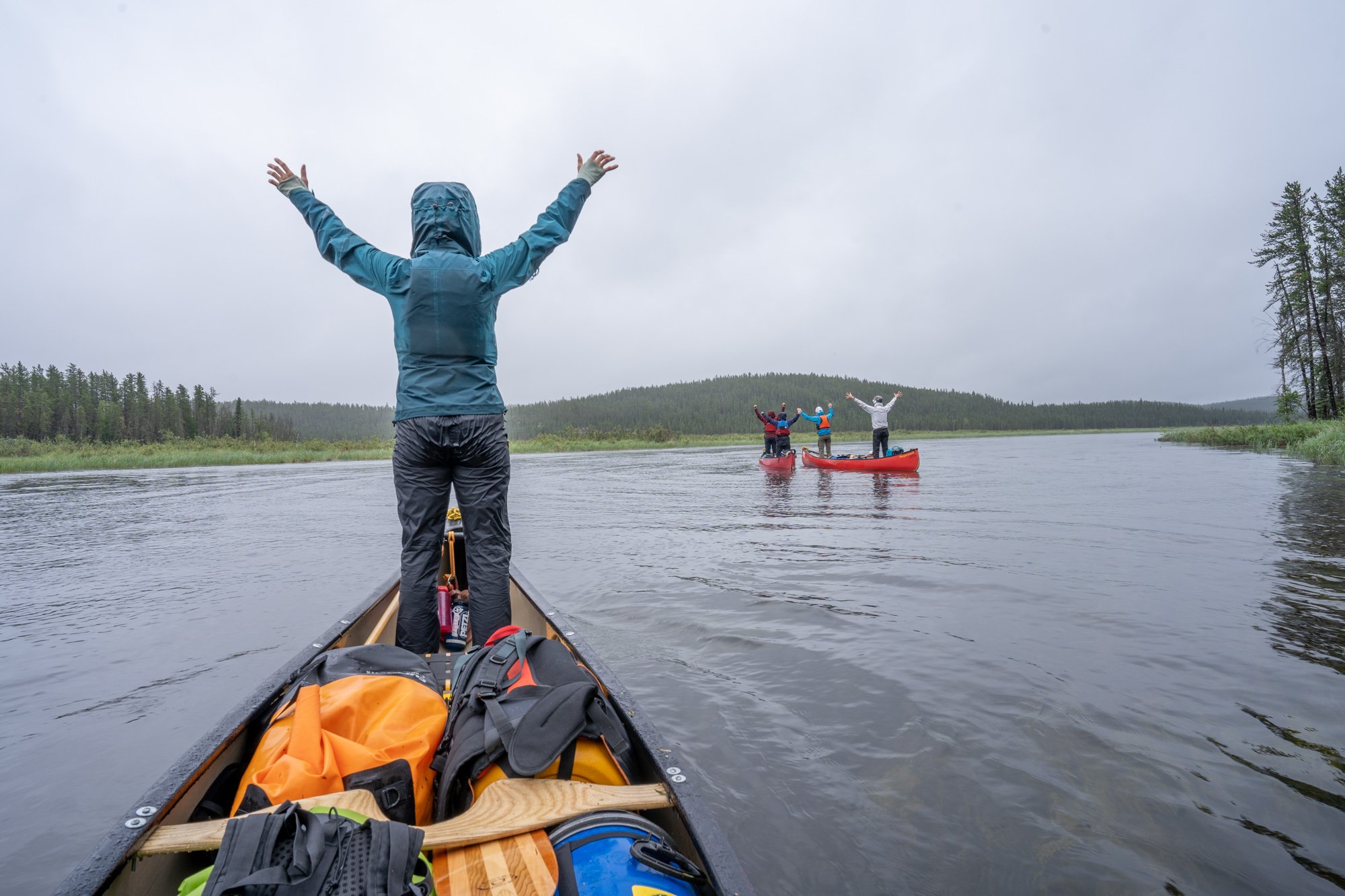
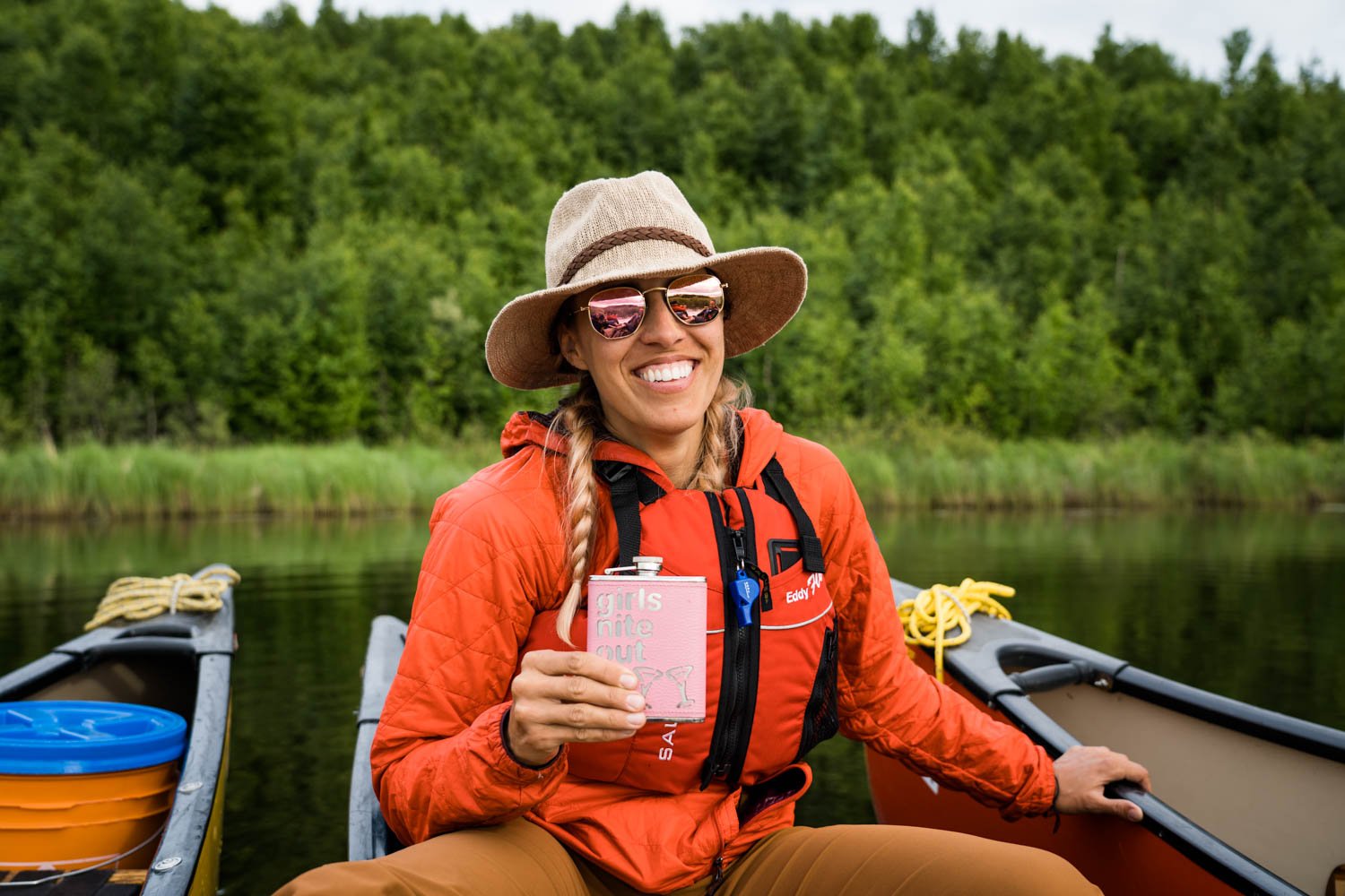
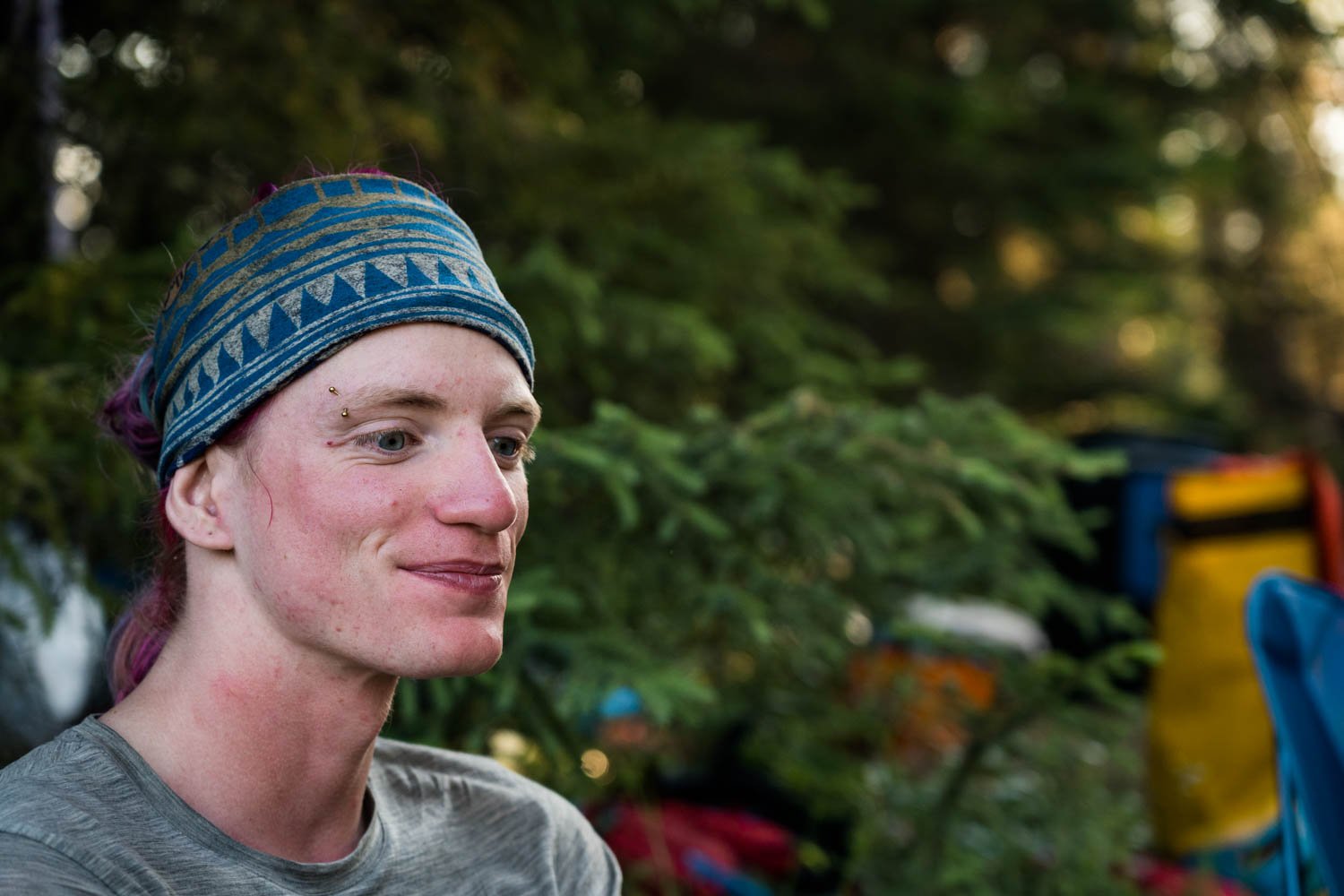
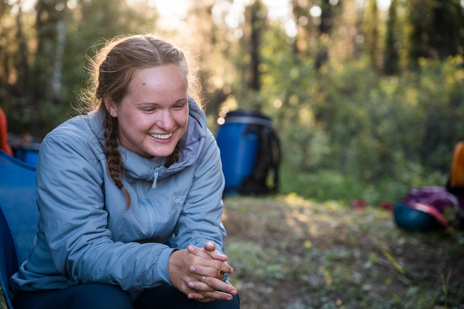
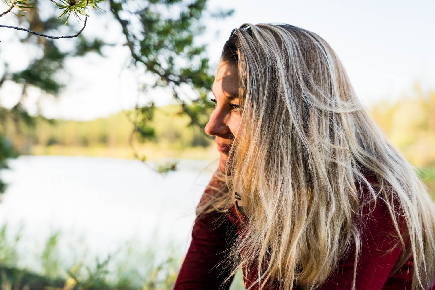
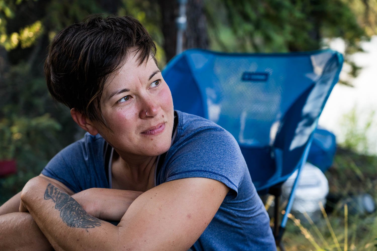
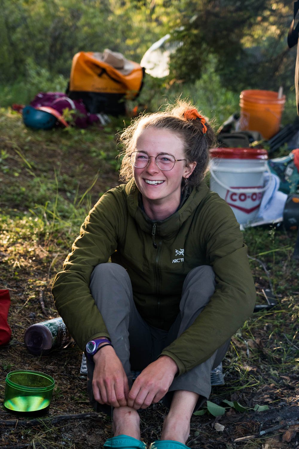
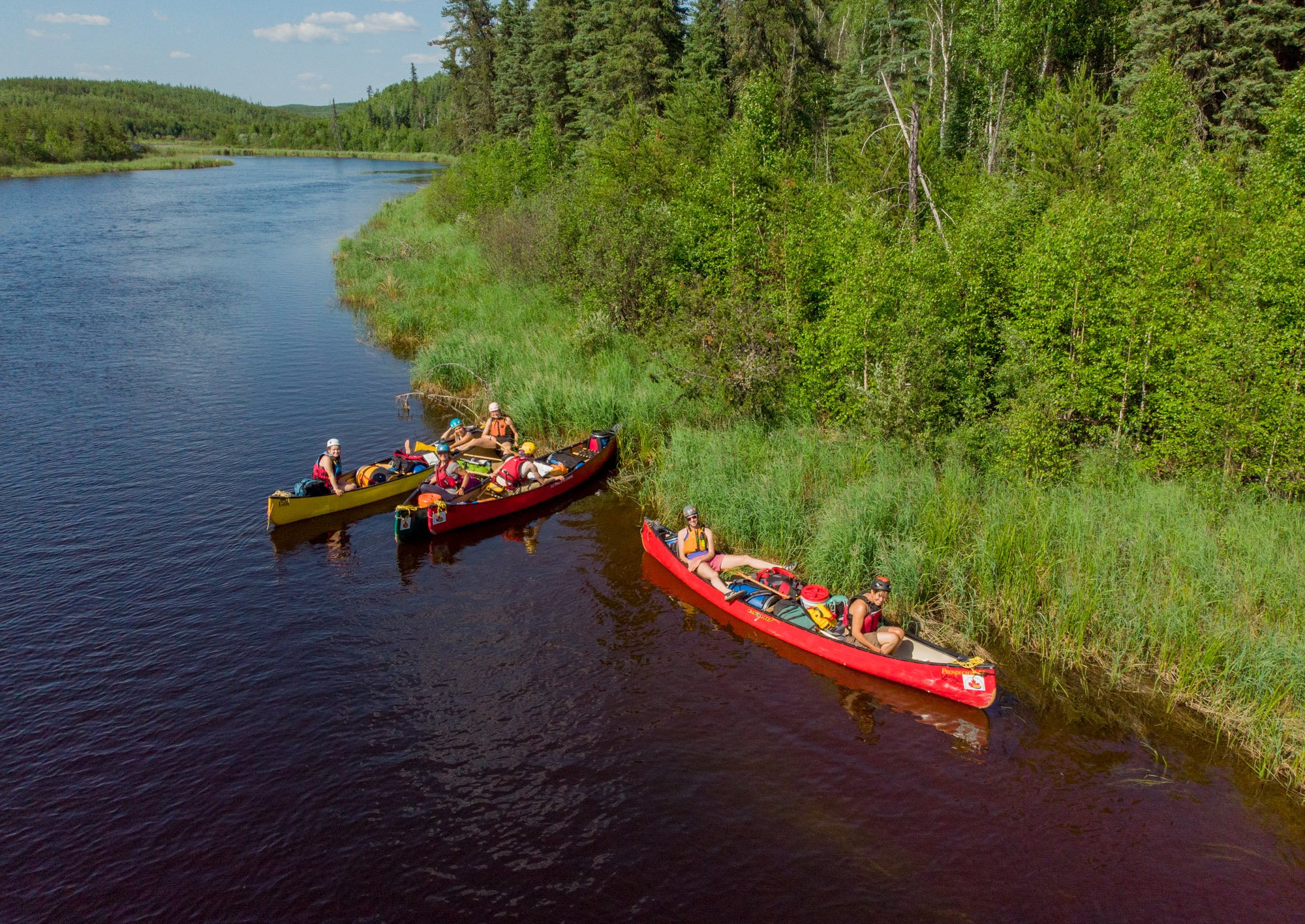
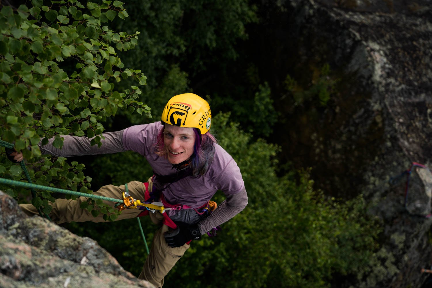
This region is a canoe trippers’ haven. I’m not the only one who has spent hours studying the rock faces while paddling, wishing I had gear with me to climb. Our team of seven women - myself, Ada Krahn, Ashlyn George, Courtney Hancherow, Kristen Moore, Sabrina Heywood, and Sarah Hicks - all grew up in different towns across south and central Saskatchewan and have a love for both paddling and climbing. We came together with the goal to explore the potential for outdoor climbing in Saskatchewan and what the future of the sport could look like in the province.

We weren’t the first to conceive this idea - we’d heard rumours of river guides in the 1980’s taking clients to boulder on cliffs. Others regretfully admitted to scrubbing a face clean of lichen that had been there for a millenia - only to find it wasn’t a great wall to climb.
We put sustainability at the forefront of our plans, understanding that this was not our land to alter in any permanent way. In addition, we would be naive to think that we would be the last to want to climb along these routes. We knew we would be setting a precedent for those climbing after us.
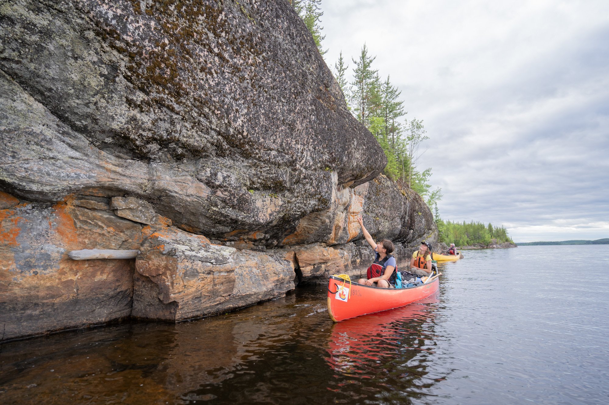
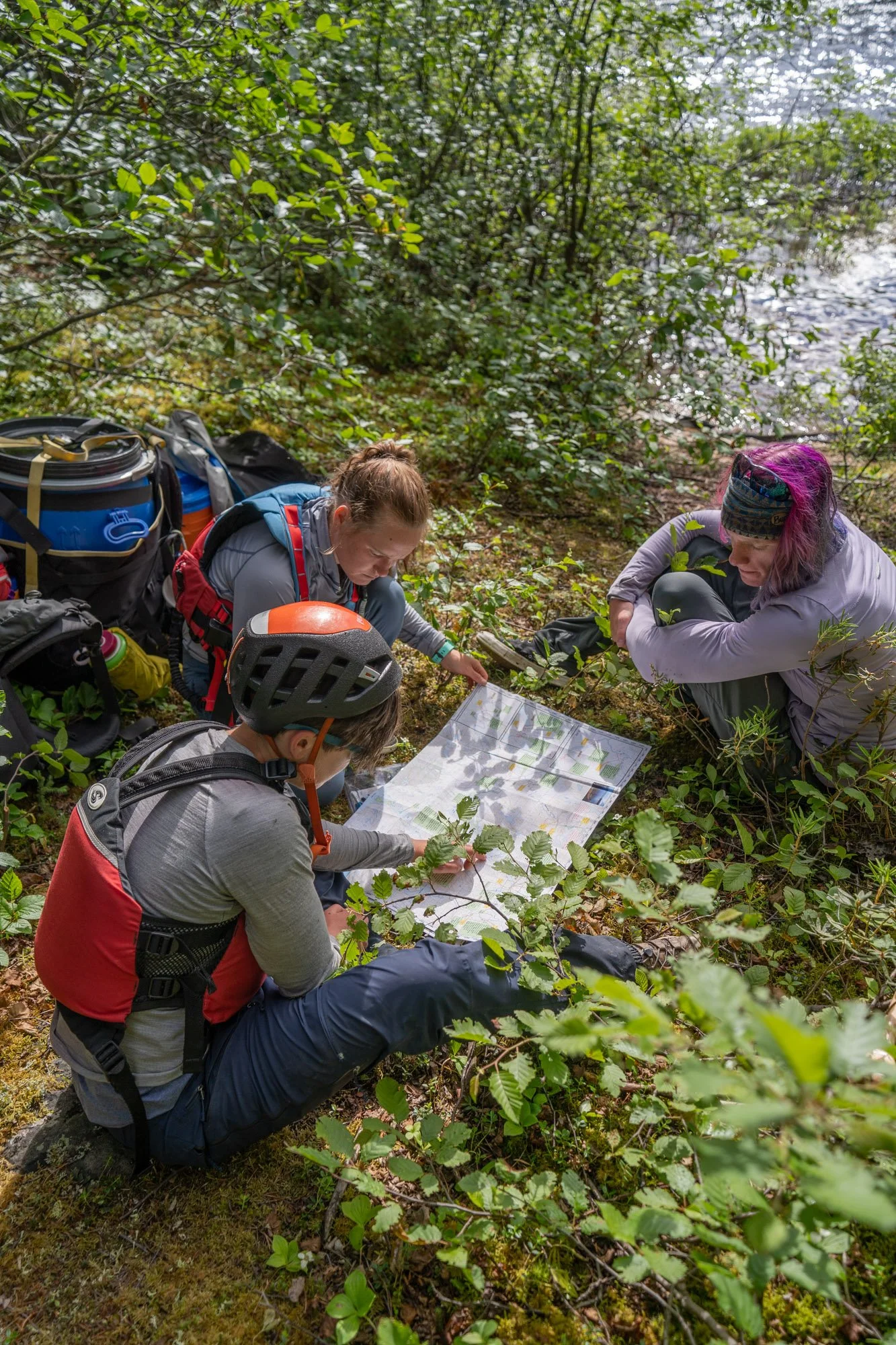
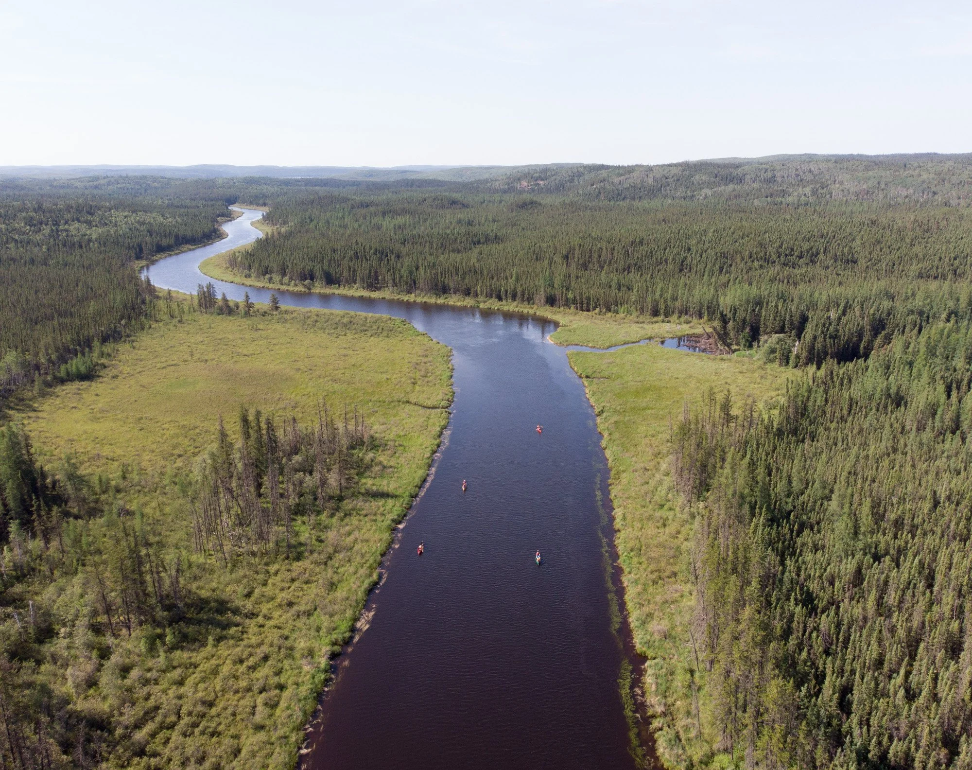
Our canoe route was chosen with a number of factors in mind. We didn’t want to overcrowd an already popular area but we also wanted to avoid choosing a location so far off the map that the logistics prevented future visits. The Foster River seemed to mark the perfect balance while including just the right amount of white water to keep the paddling portion exciting as well. We had a few men question our choice of river, convinced from their memories that there was no rock to be found along its shores, but contour maps and other promising reports encouraged us to go for it.

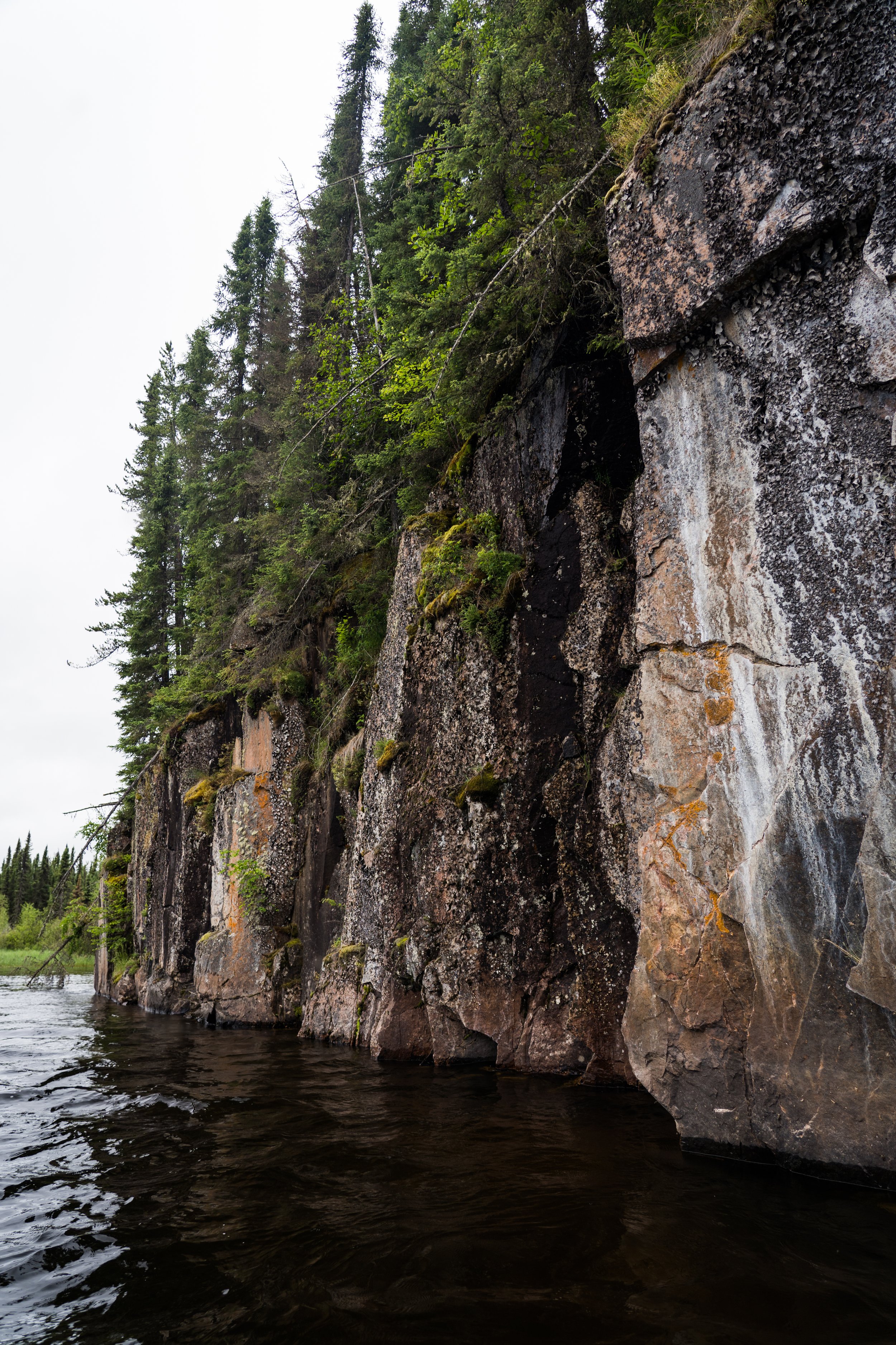
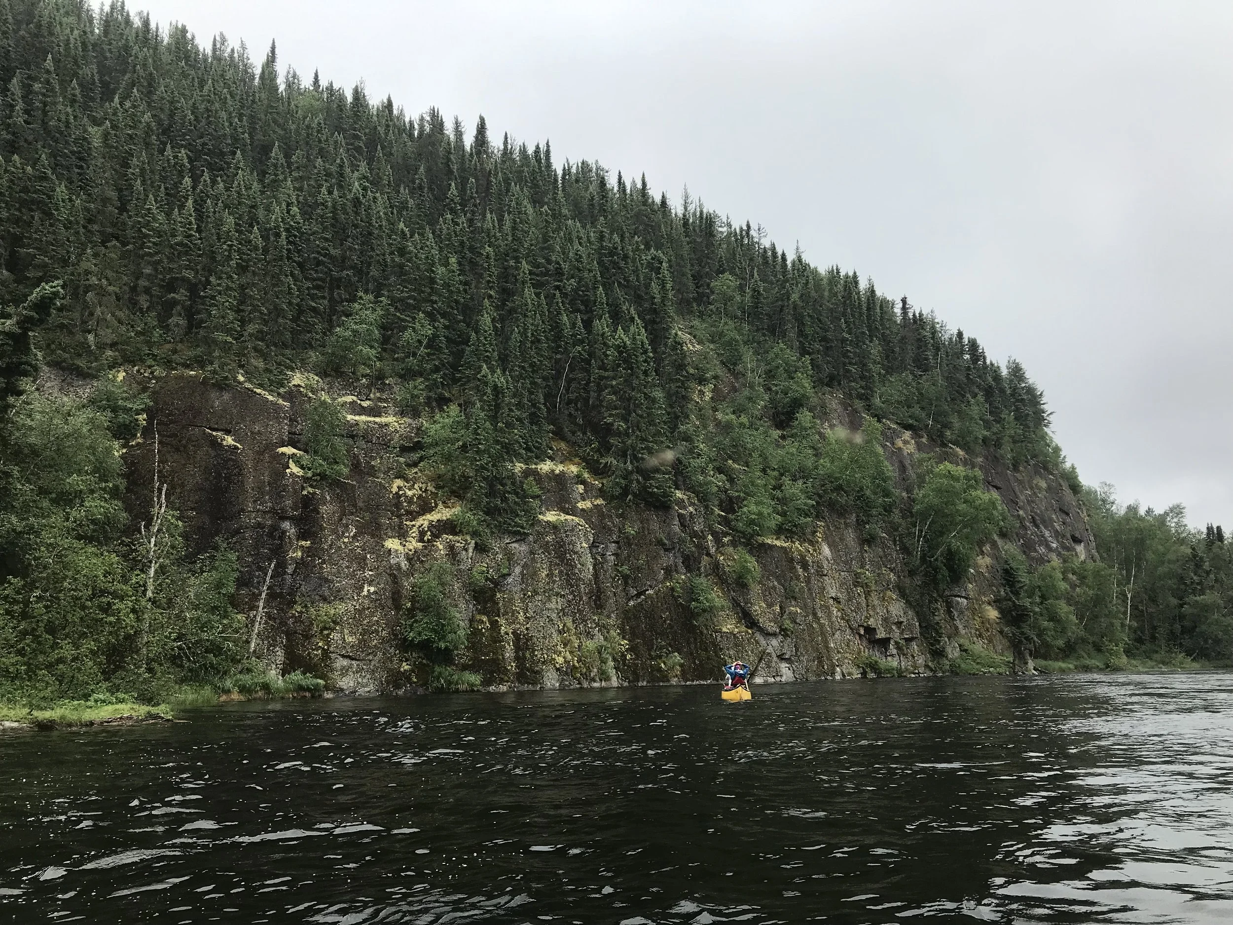
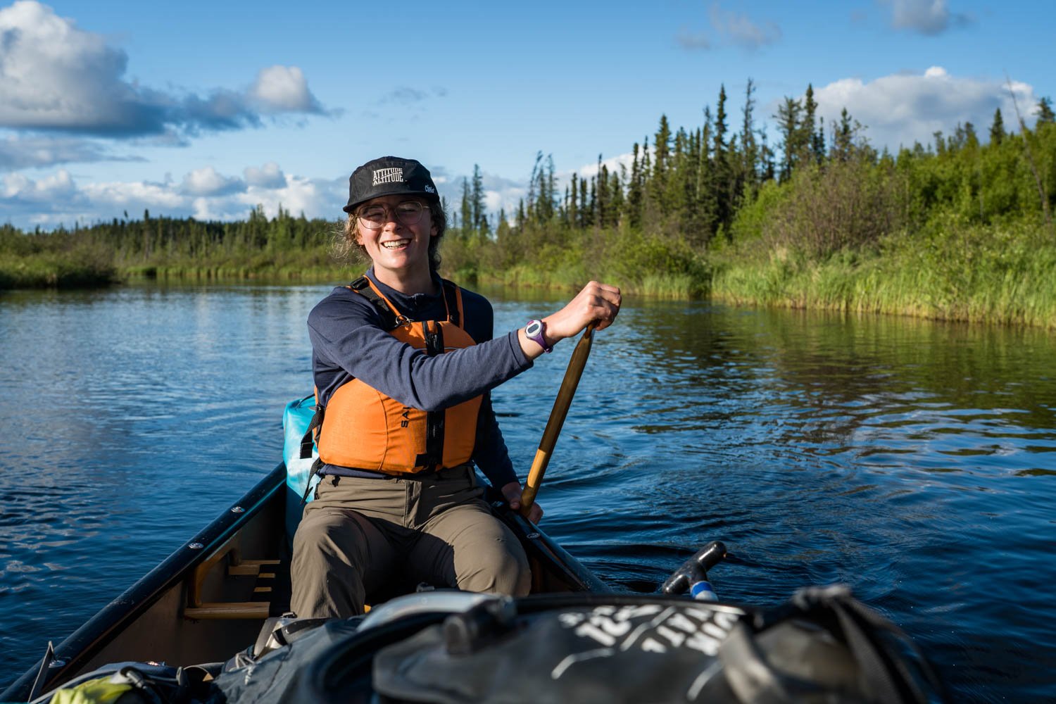
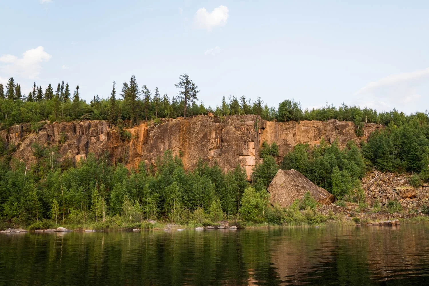
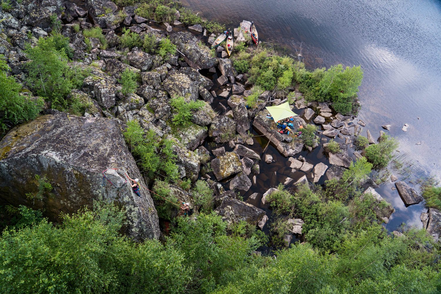
Meeting in the small town of Missinipe - a five hour drive north of Saskatoon - our team travelled by float plane to the middle of Lower Foster Lake. Most canoe groups start at the mouth of the river on the very south end of the lake. But we were enticed by the stacked contour lines surrounding the northern half of the lake. While it’s common for the glacier-formed rock faces in the area to be more sloped, we were thrilled as the plane descended as we could see vertical cliffs in every direction.
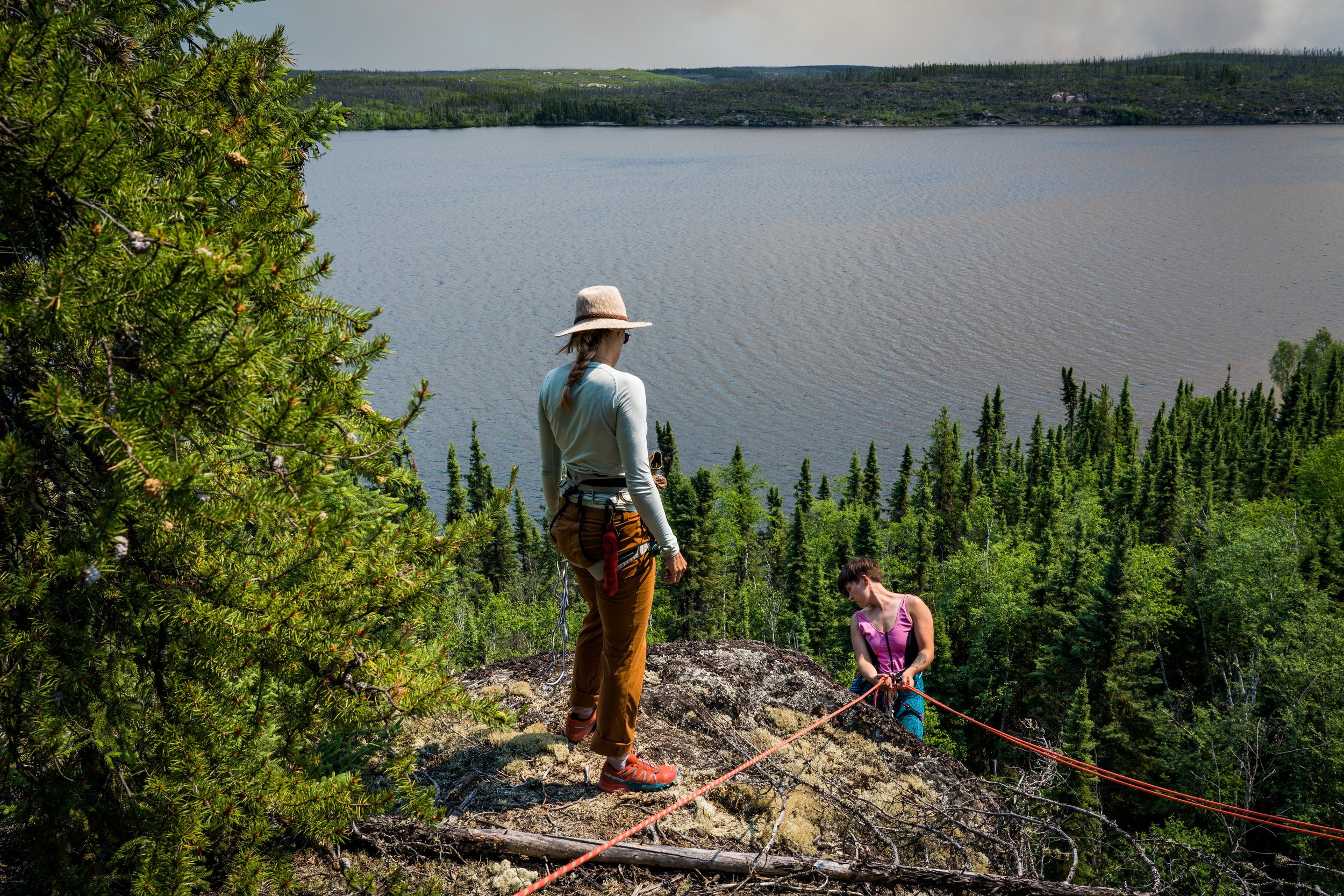
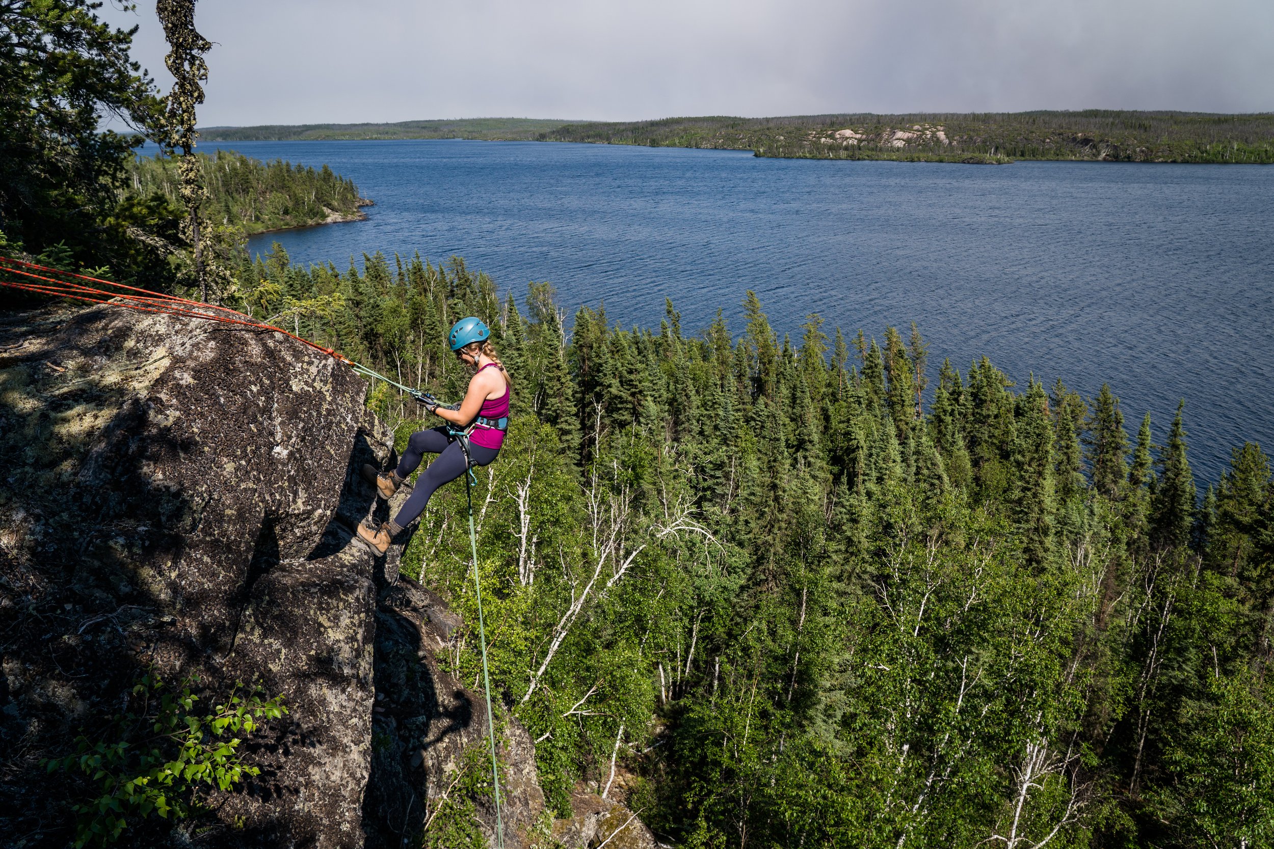
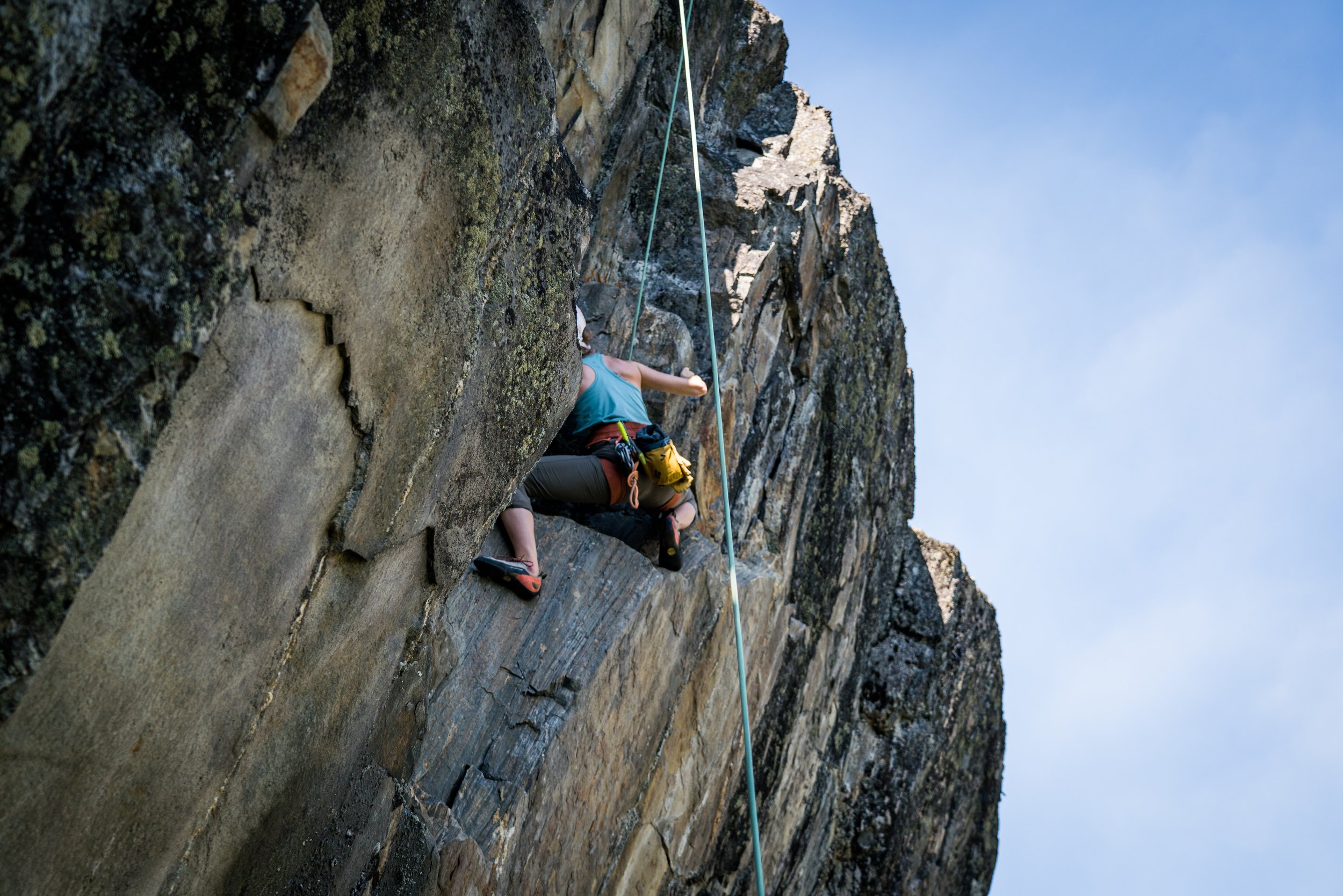
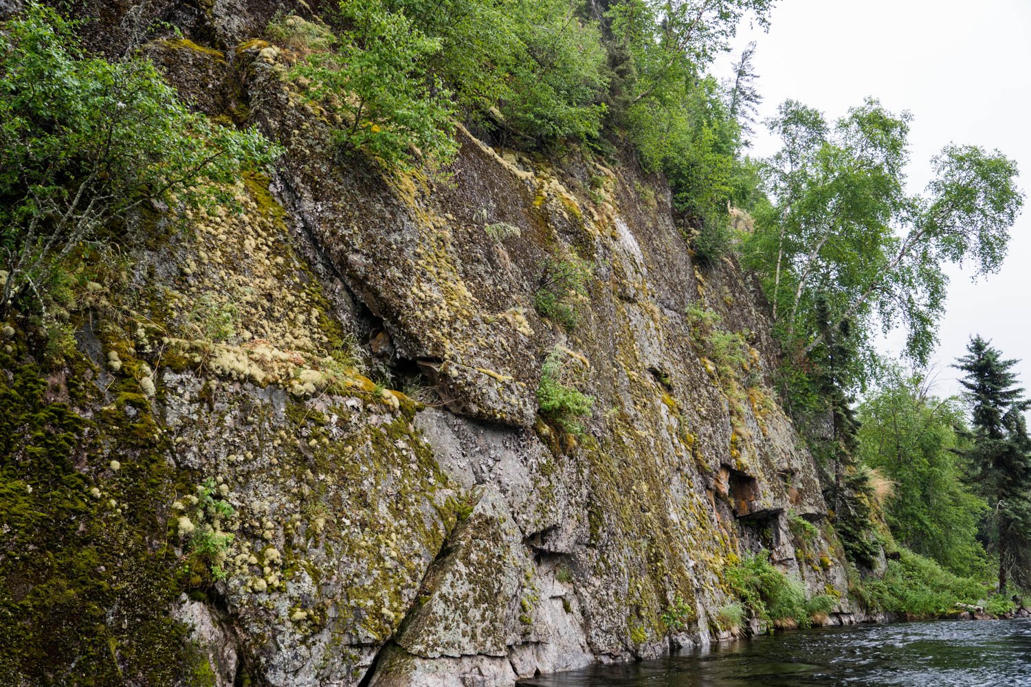
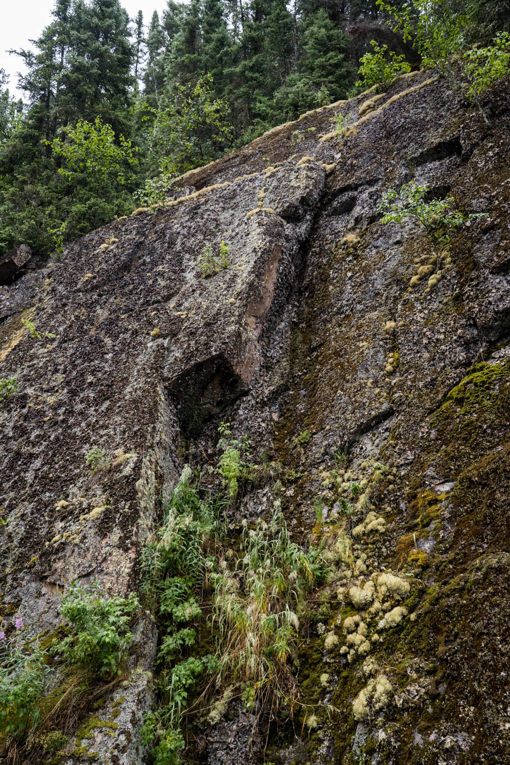
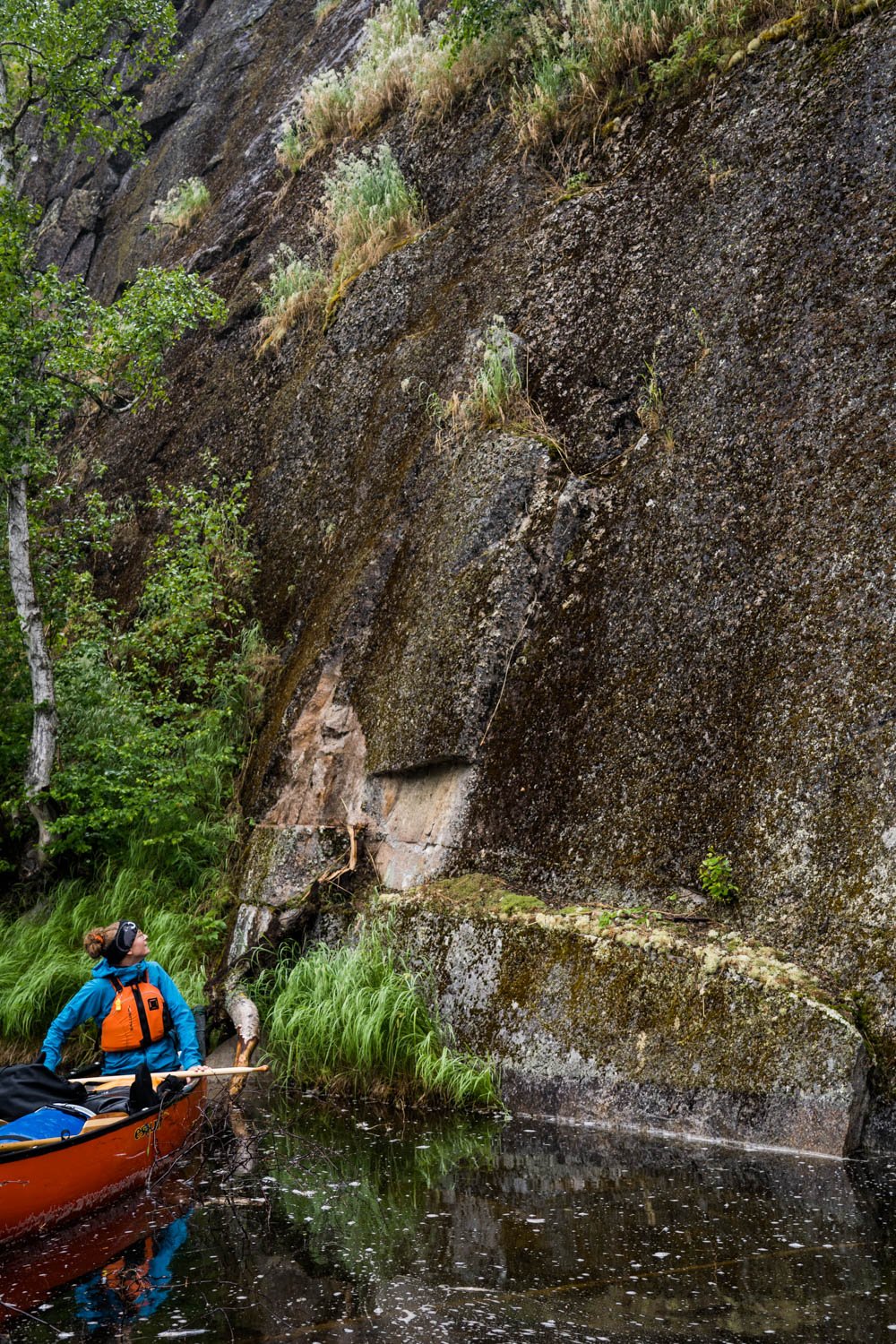
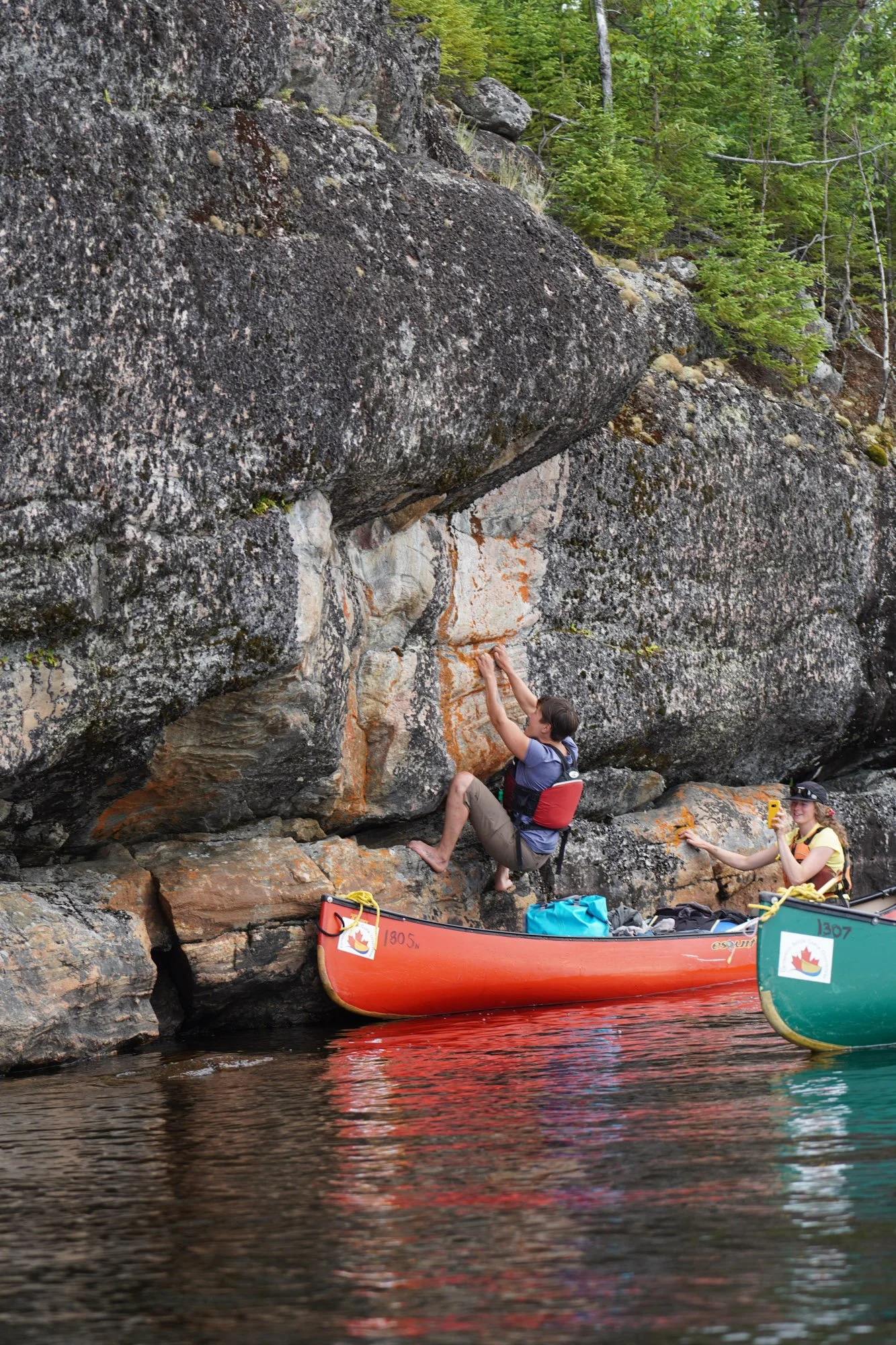
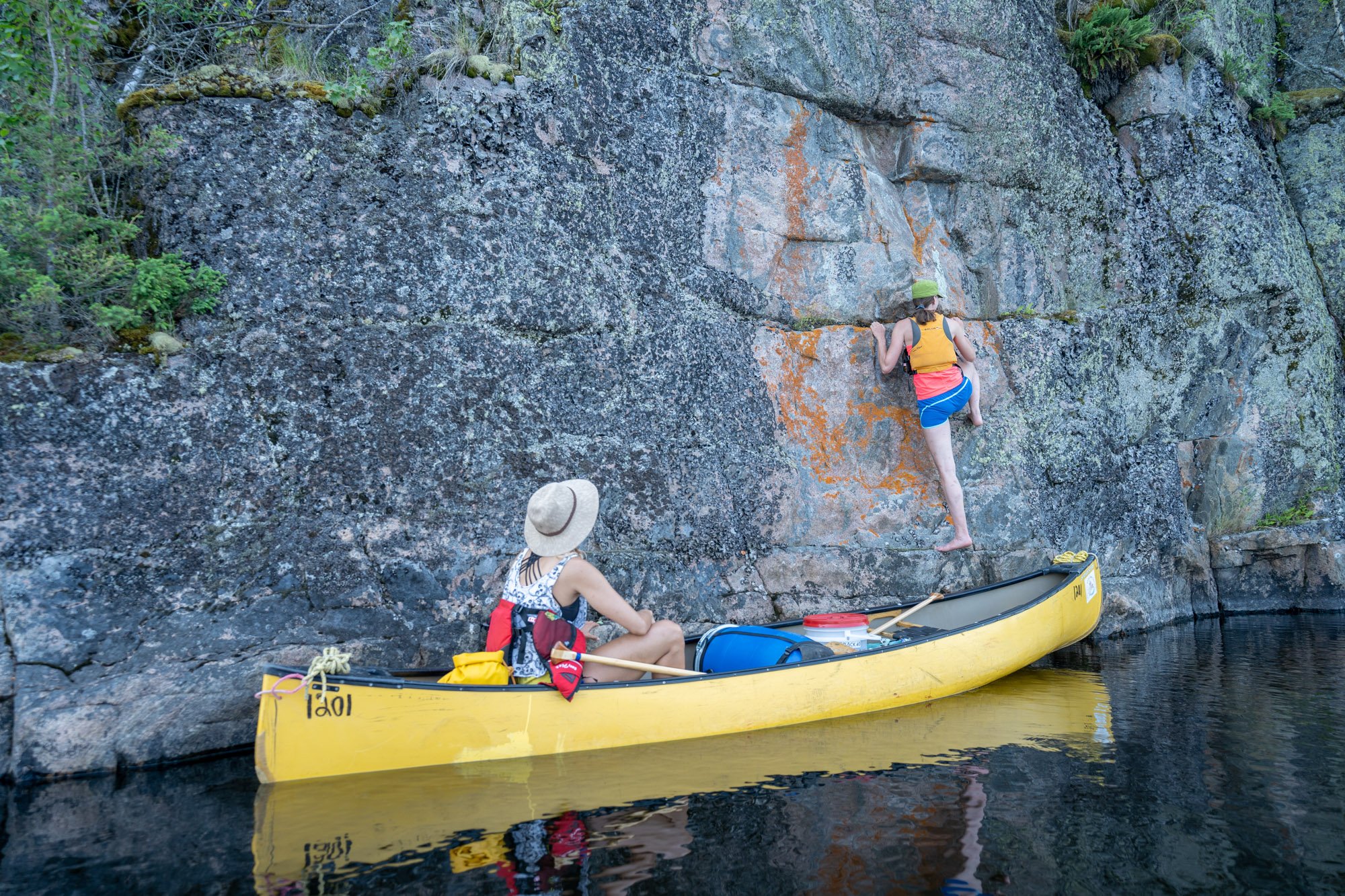
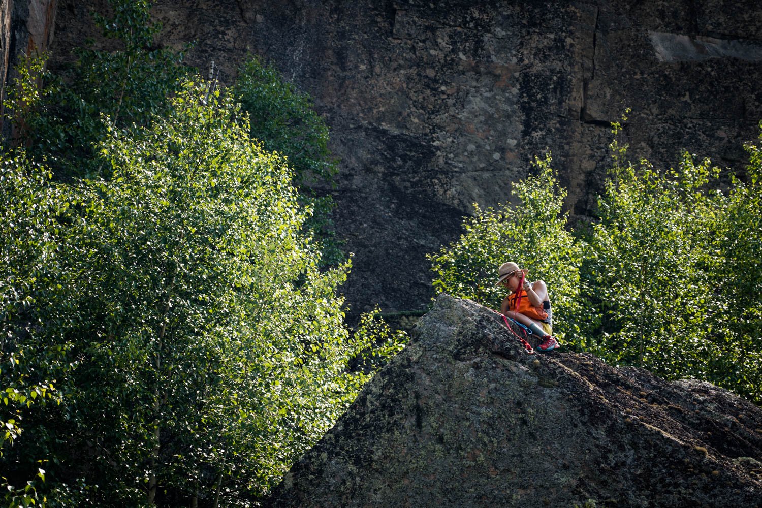
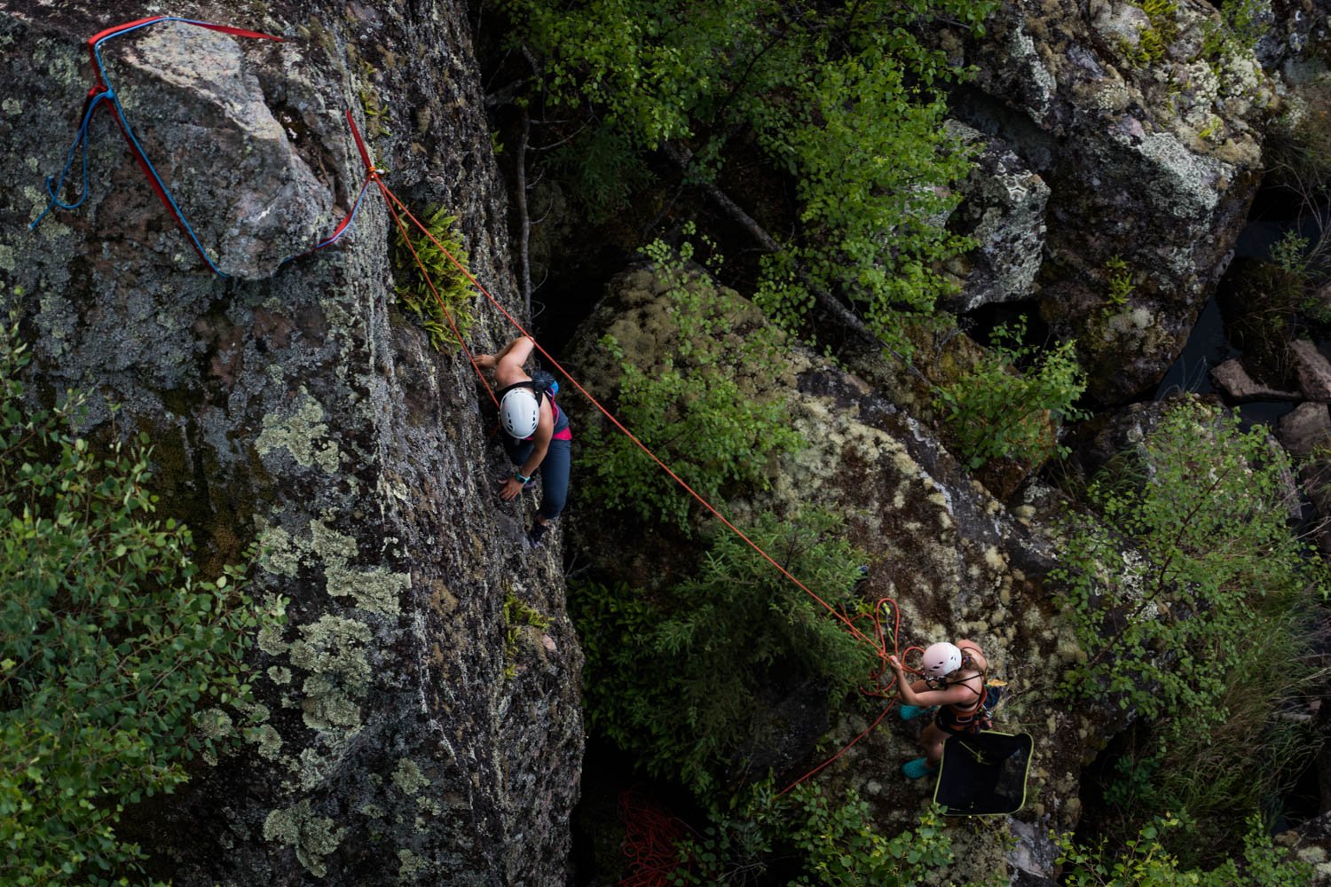
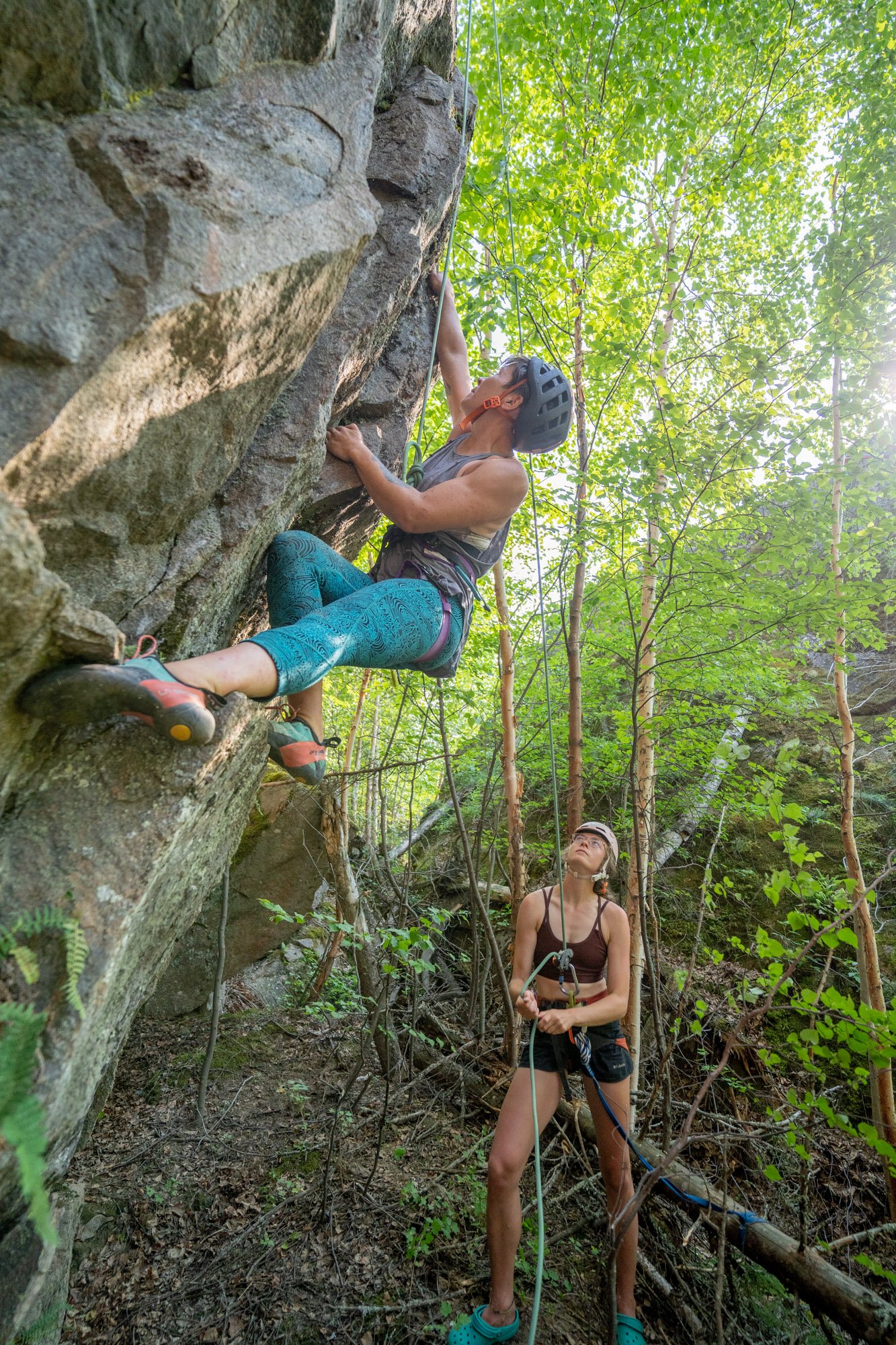
The tops of the cliffs in this region are typically accessible by vegetated slopes. The amount of moss and lichen present make the faces less than ideal for traditional lead climbing. On our first day we were able to build a large anchor utilizing a 60m rope and three trees set back from the cliff. The rock we chose to climb was cleaner than other faces in the area because it was significantly overhanging. We were each able to attempt the low 5.11 graded route. Sarah and Sabrina successfully climbed it, naming it Flight of the Eagle after the eagles that soared overhead while Sarah completed the first ascent.

Our first day set a great tone for the rest of the trip. We were ecstatic to put a route up so early on and were eager to see what else we could find. We learned what to look for from our canoes on the water when eyeing up potential faces. We Discussed ways we could limit our cleaning and footprint. We also realized how long it would take to scout locations, build anchors, and give everyone a turn to climb. We had 7.5 days remaining before we’d be picked up on Eulas Lake and it would take six full days of paddling to get there. We knew that we’d be pressed for time to fit in climbing as well.

Unfortunately the rain set in on day three, just before we arrived at our next potential climbing spot.. The rock was too wet and covered in more lichen than we expected. Though we could see some promising routes, it would take a lot of cleaning to make it climbable. We figured it was for the best that the rain was preventing us from making such a noticeable impact on a rock face.
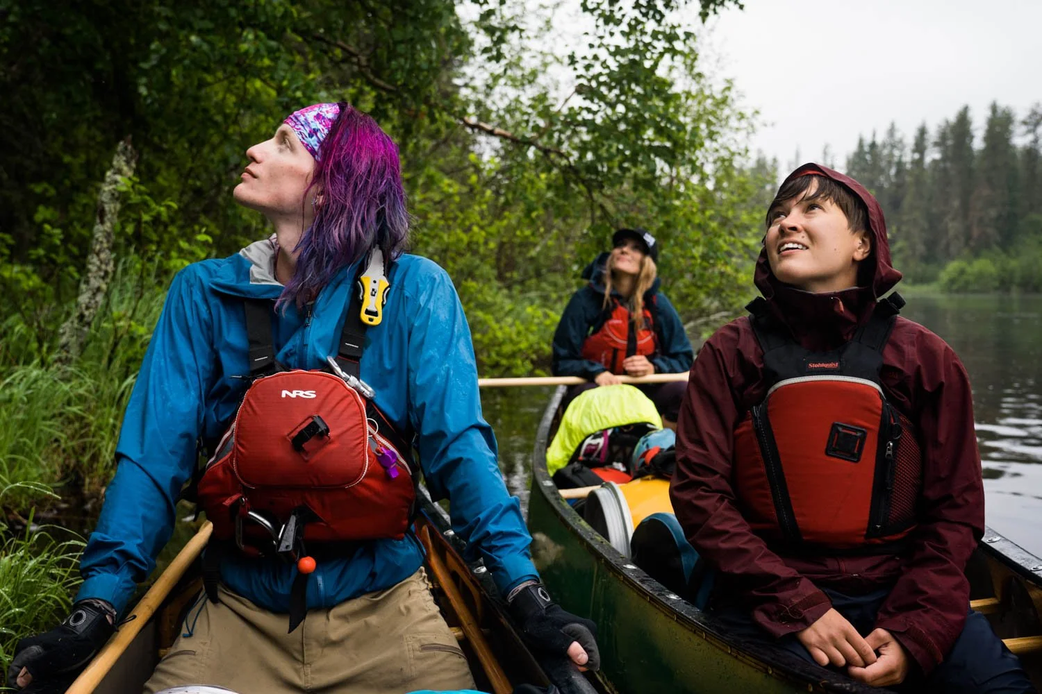
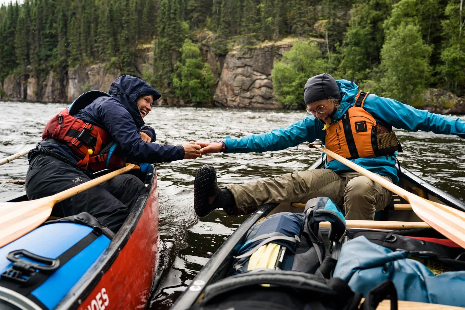
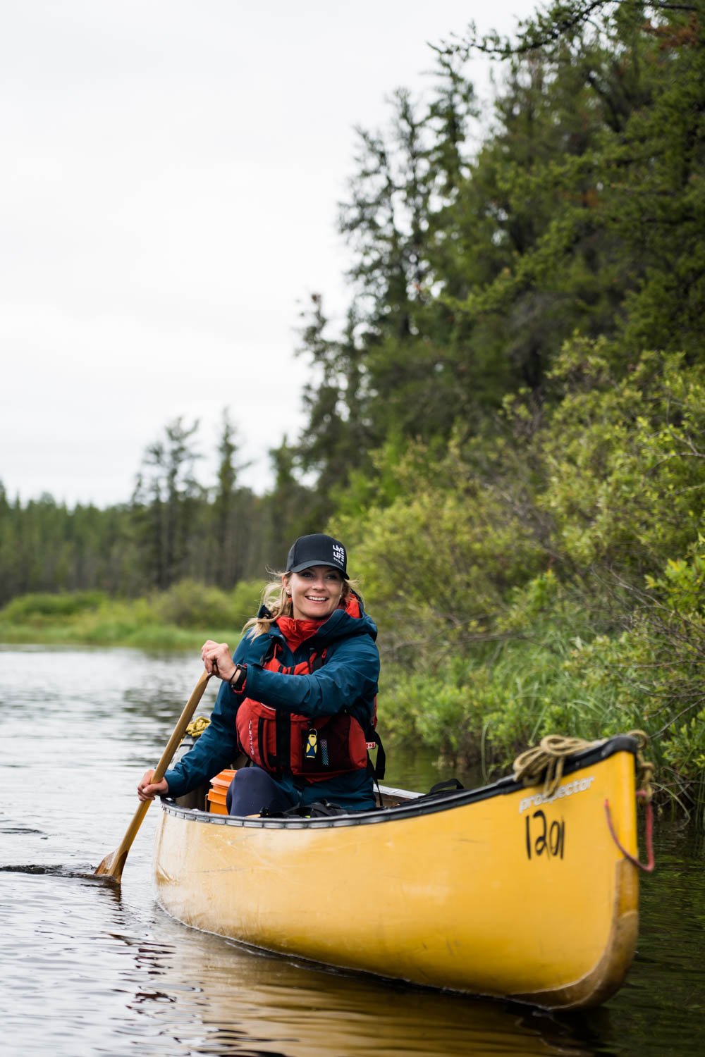
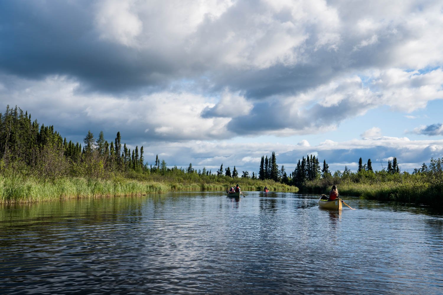
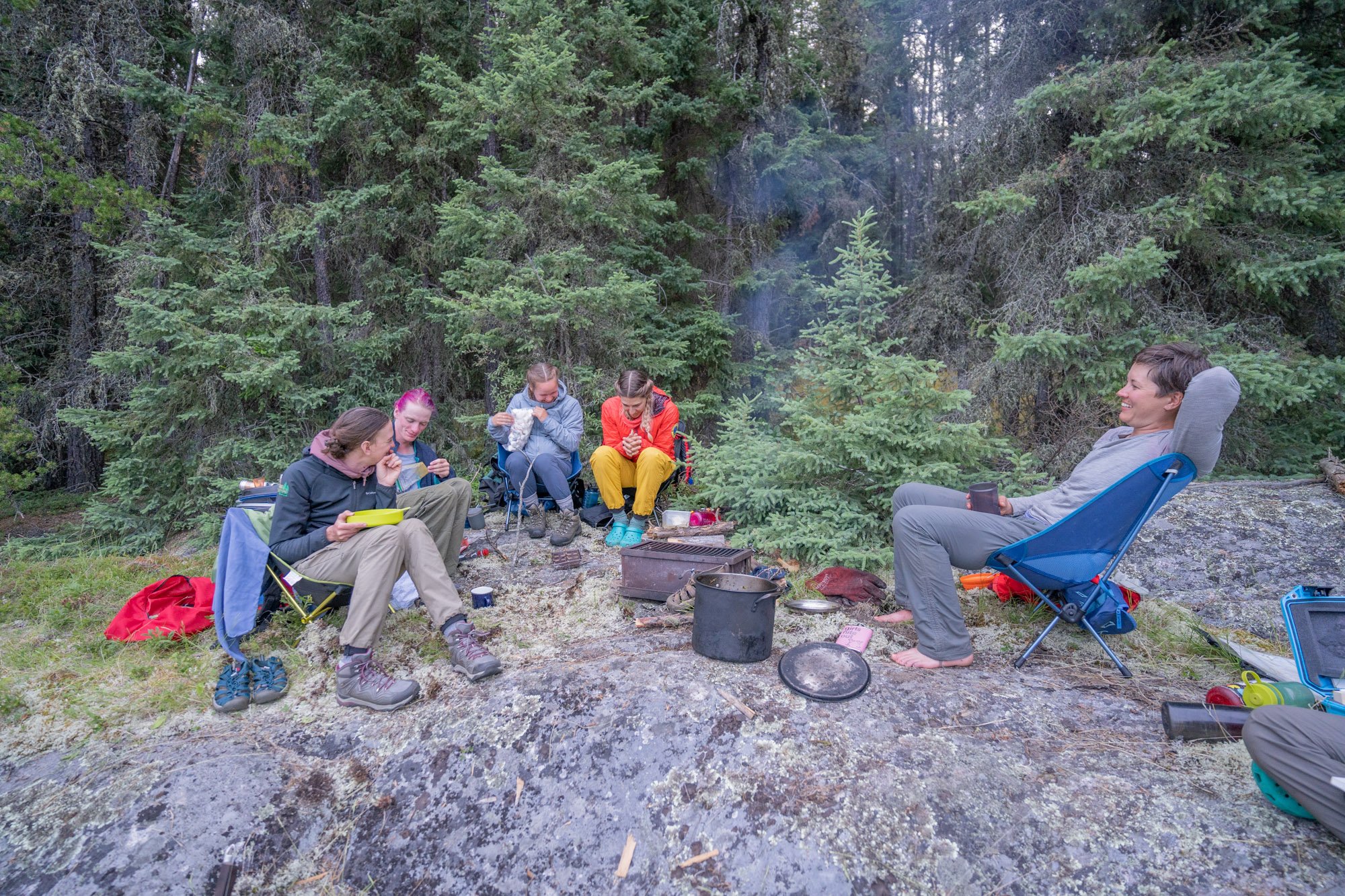
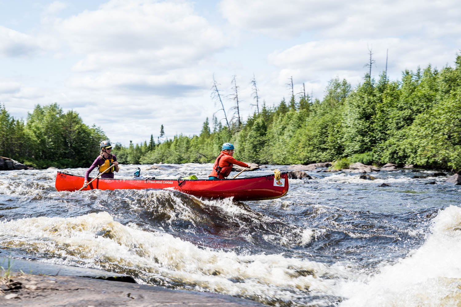
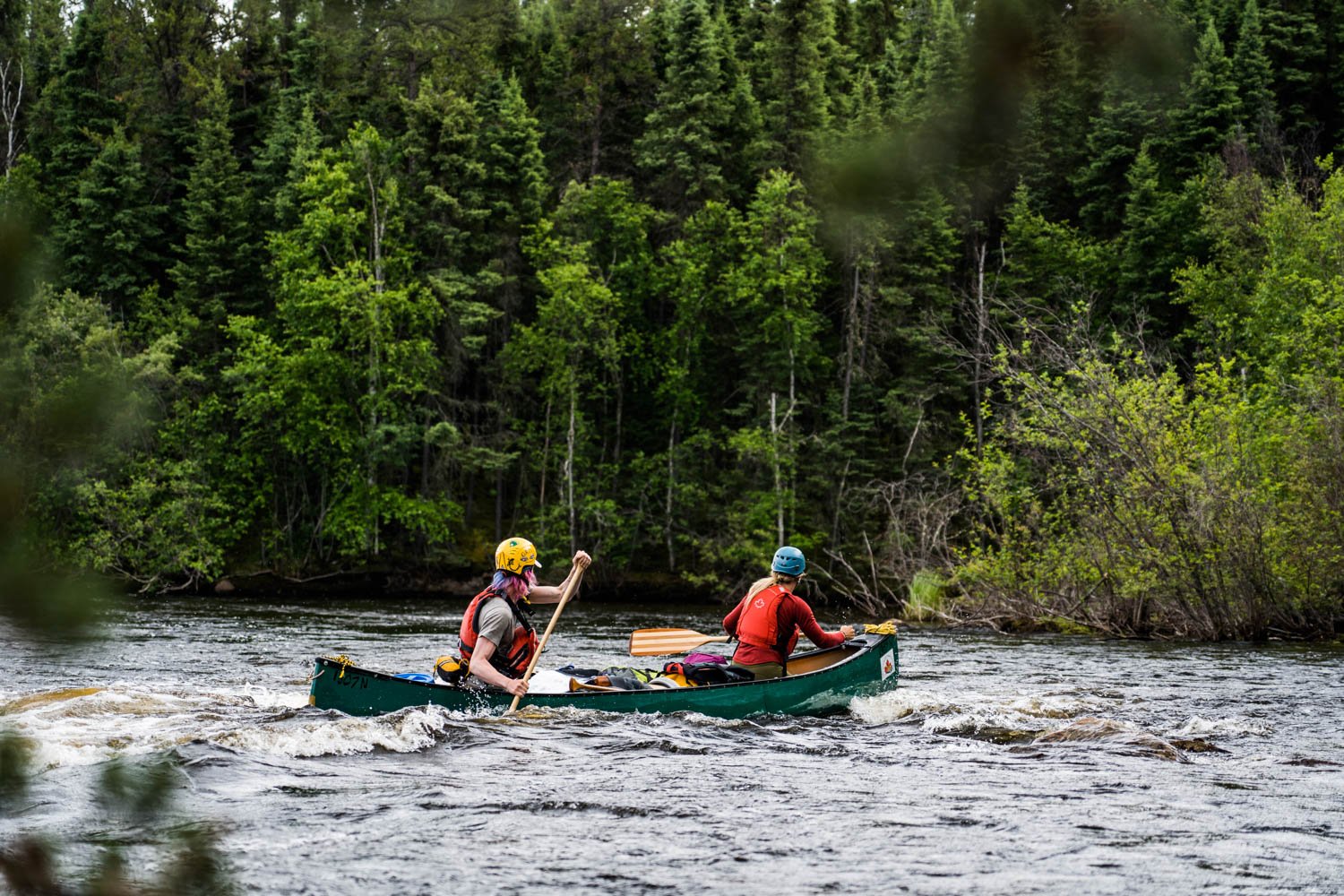
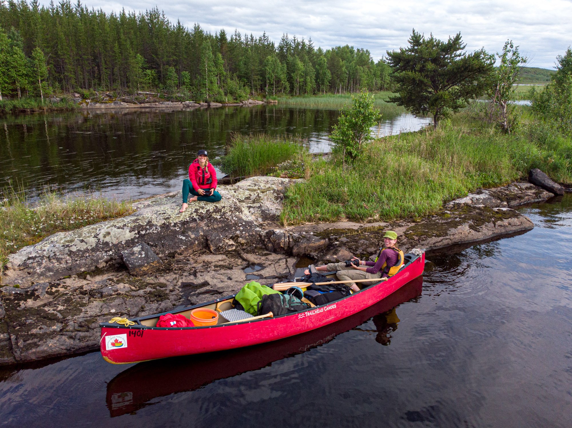
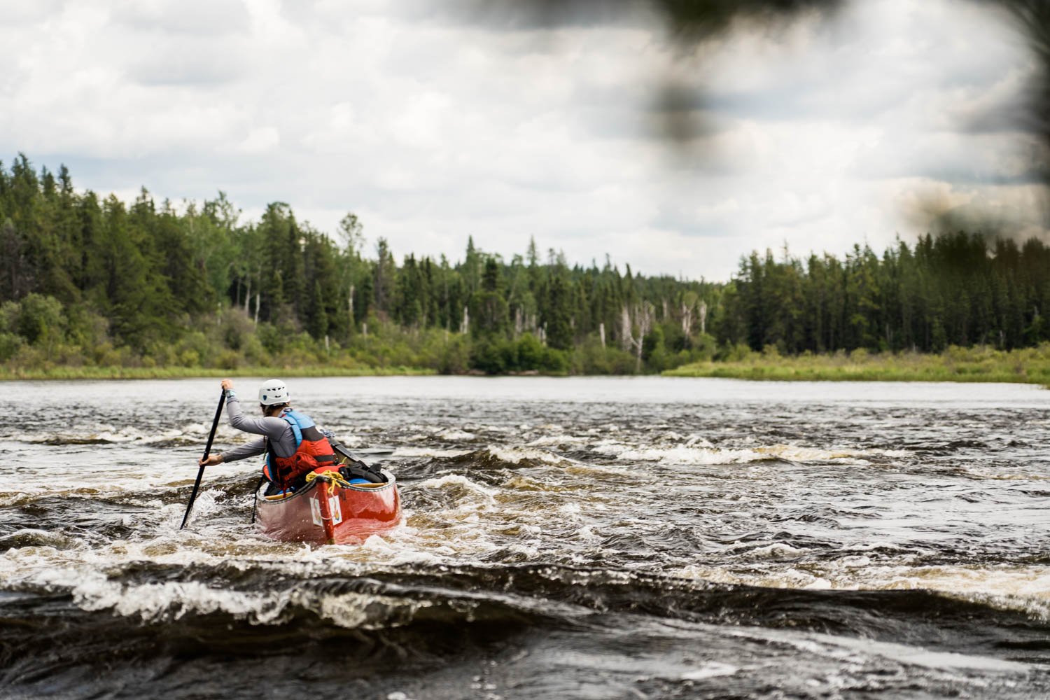
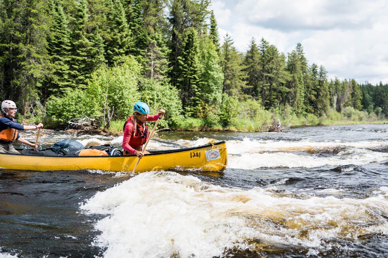
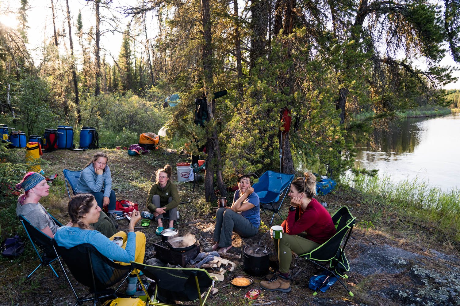
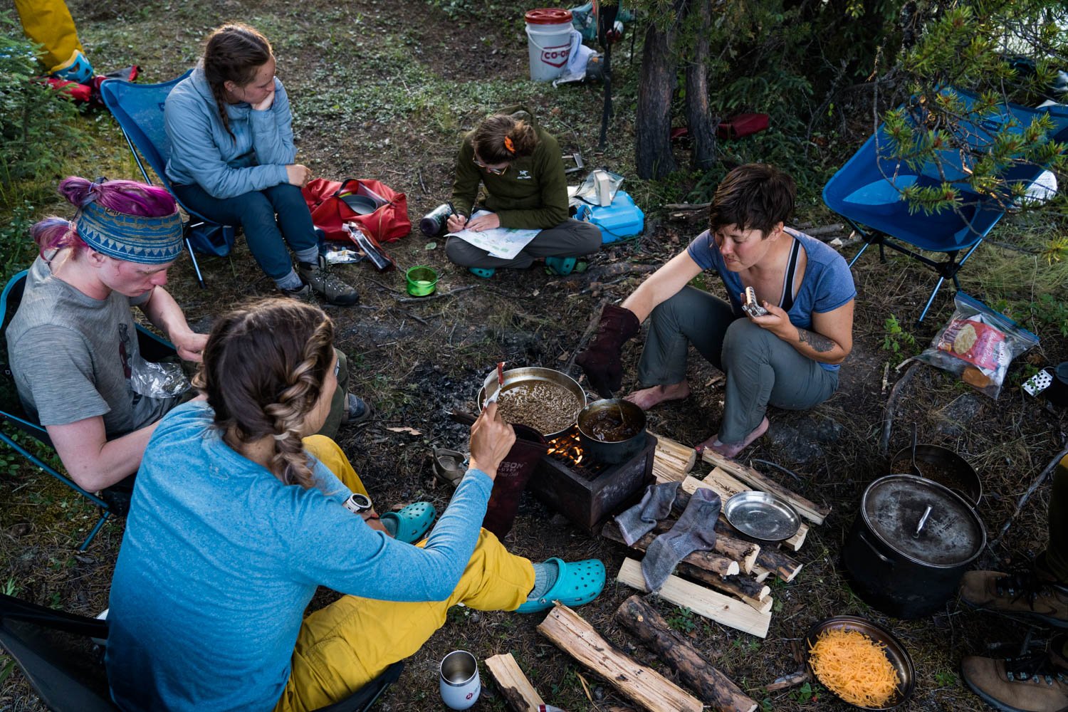
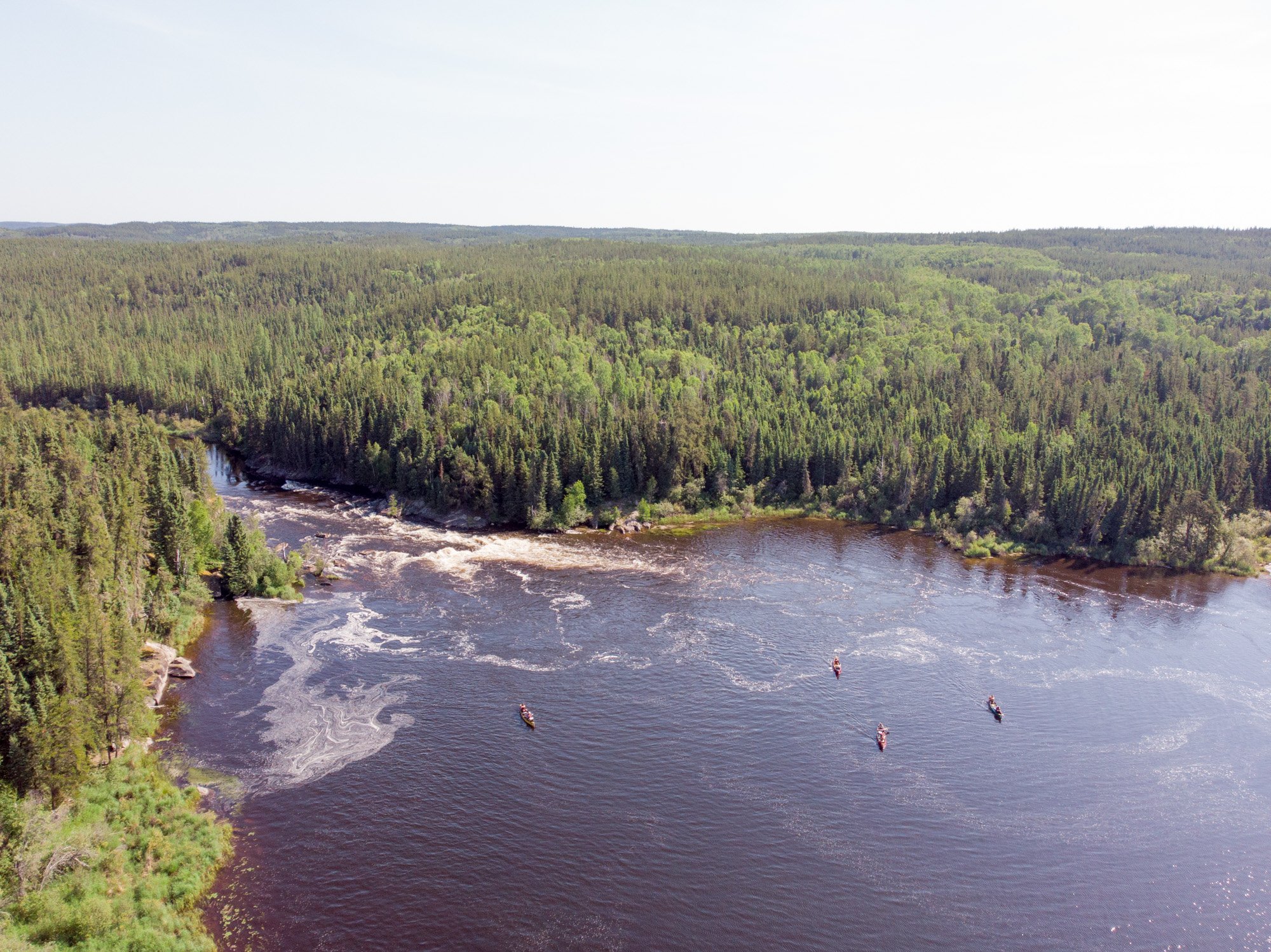
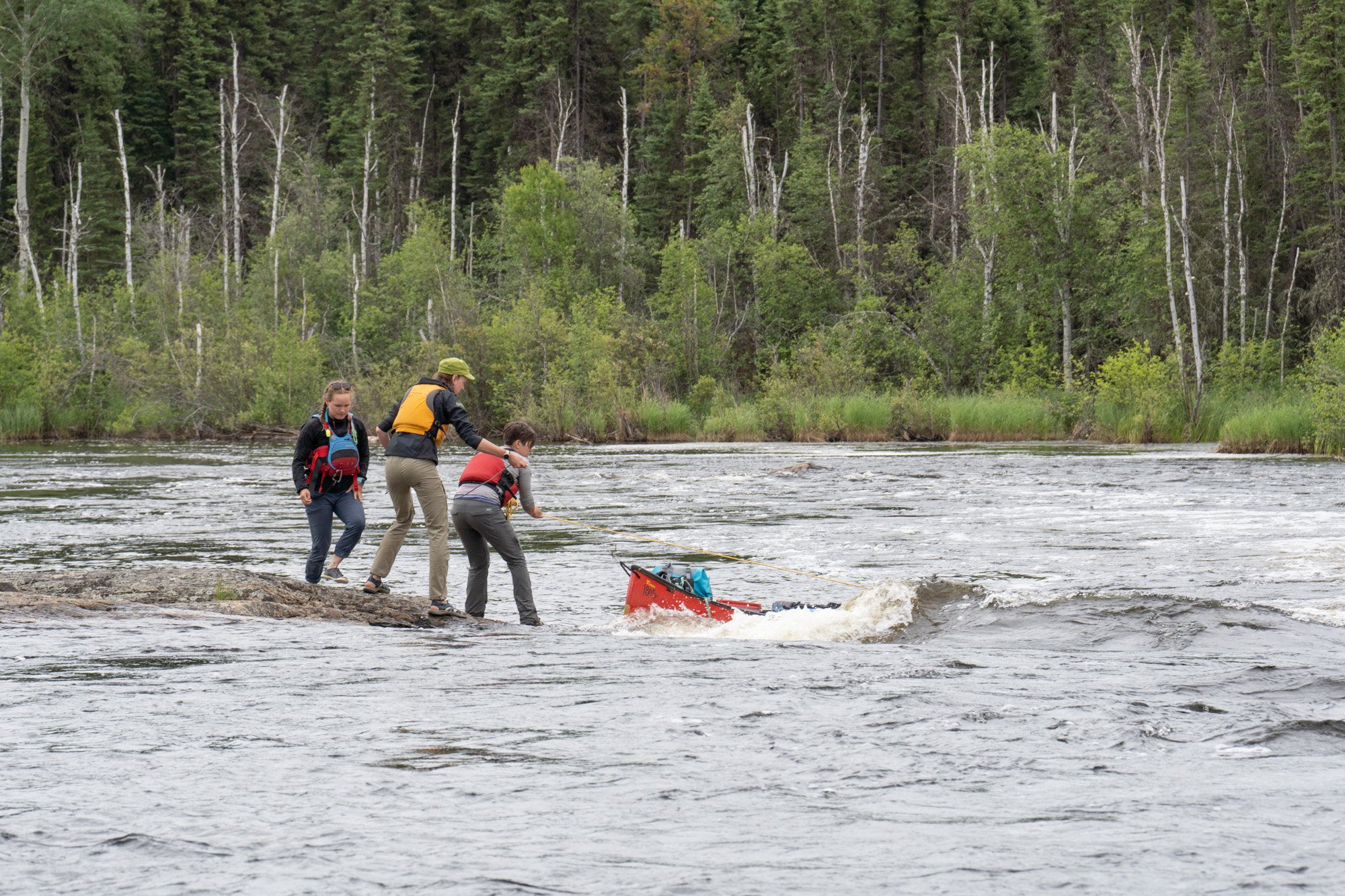
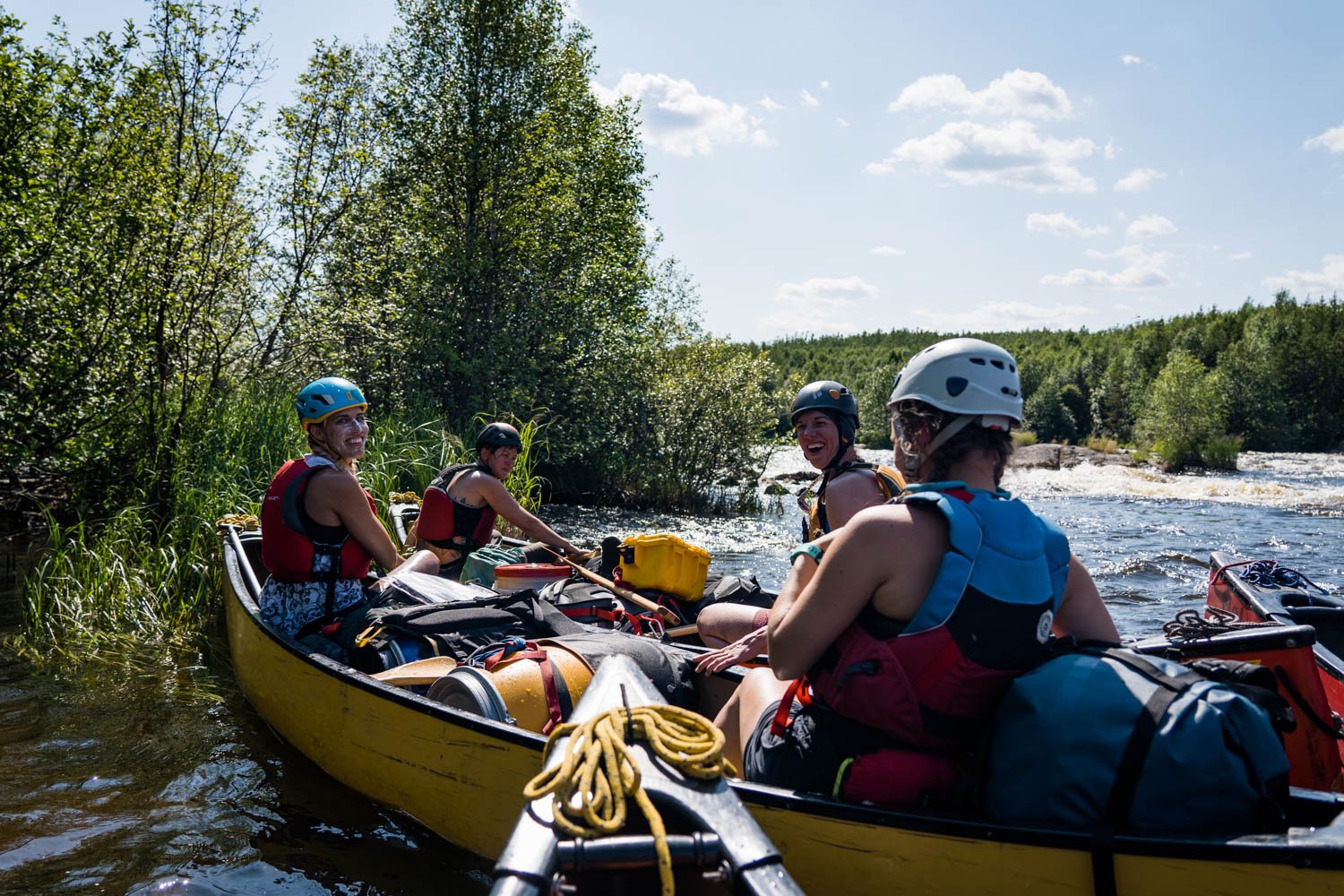
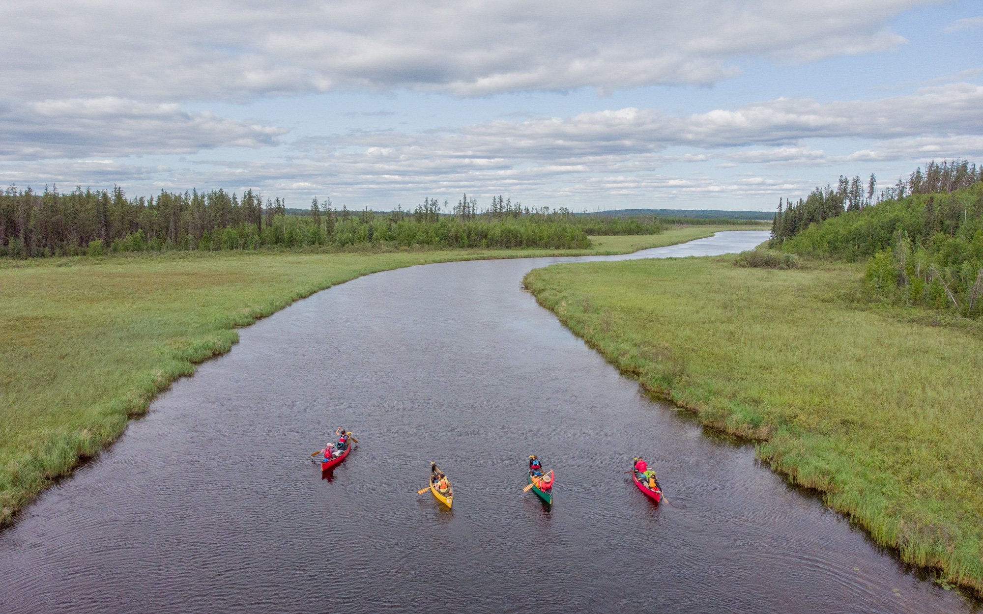
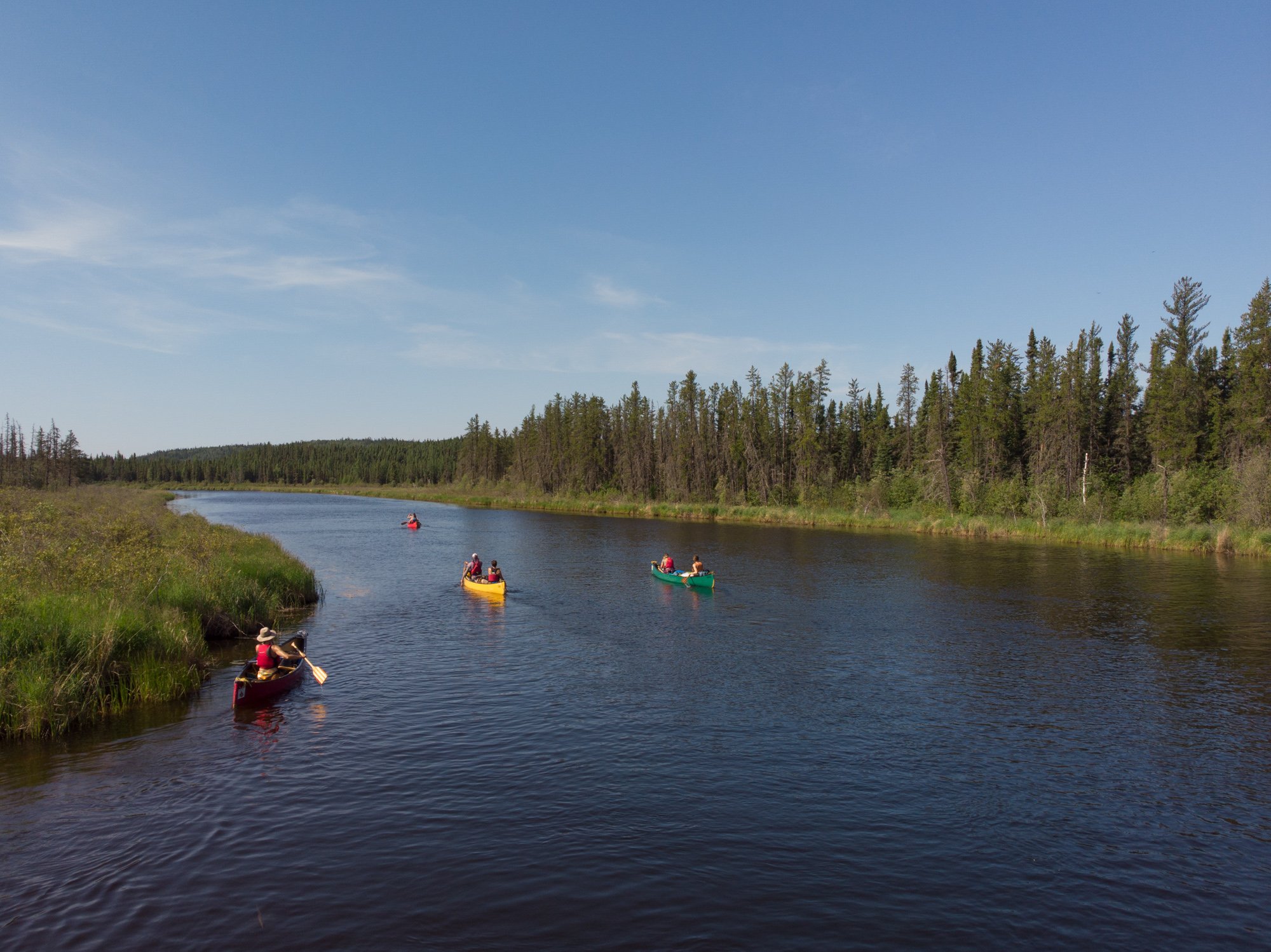
The next five days seemed to blend together. The weather changed from cool and rainy to warm and sunny. We rotated canoes, getting to connect with and learn from each other. We honed our decision making as a team and progressed as white water paddlers as the rapids increased in difficulty. We set up camp, filtered water, cooked meals, shared cocktails, and did it all again. We paddled 12 hour days, scouted and maneuvered dozens of rapids, and portaged just as many.
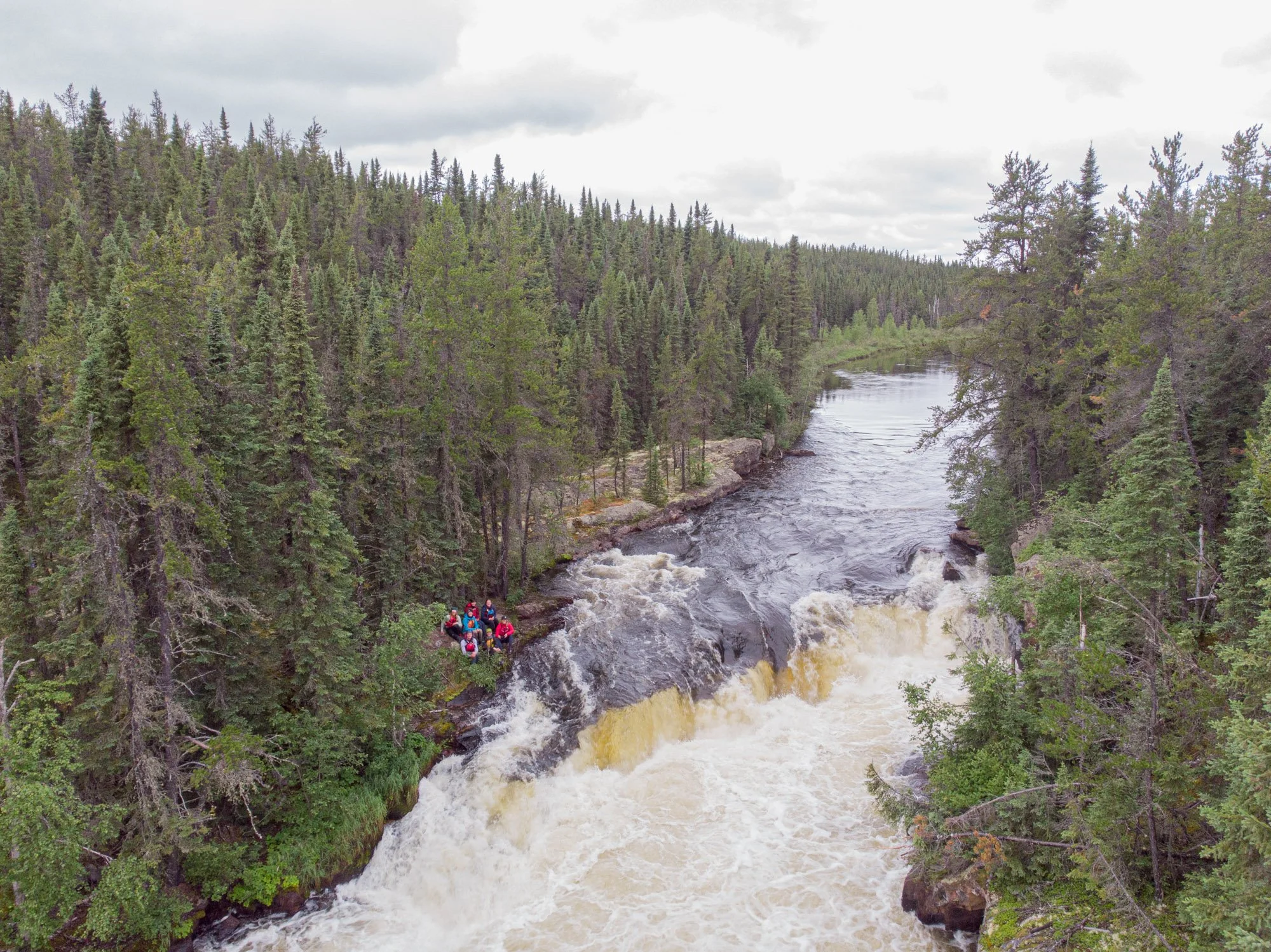
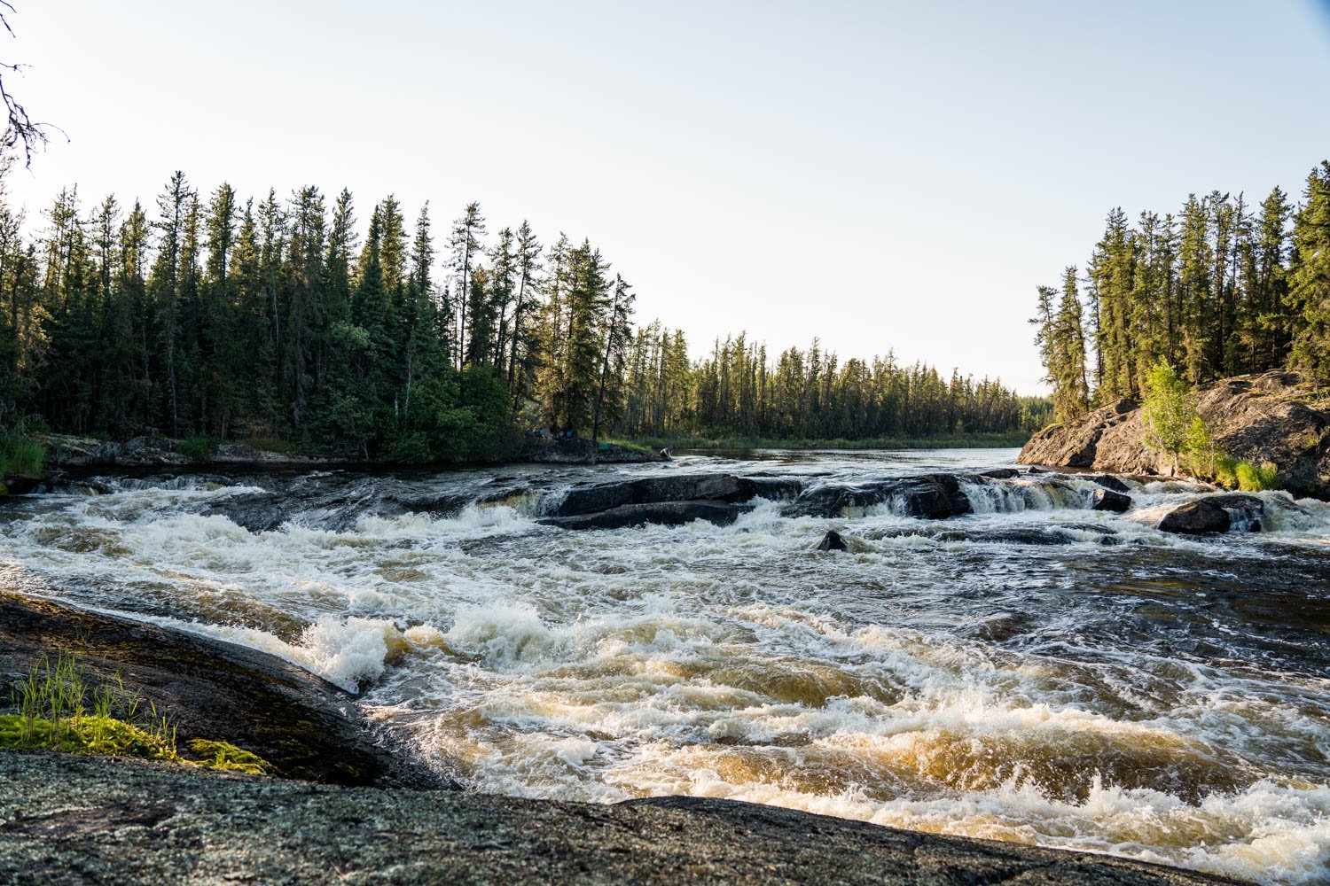
We were intrigued by a number of cliffs along the way but the situation was never quite right to build an anchor and try them out: it was raining, it was too late in the day, there weren’t any good trees to anchor from, there was too much lichen, or the rock was too brittle. It seemed like we had a lot of excuses. I think the biggest influence was the picture painted in our minds from a guide who had returned from the Foster River just days before we set out. He had told us about a spot at the south end of Eulas Lake with a 30 foot face perfect for climbing. We were determined to get there with enough time to climb.
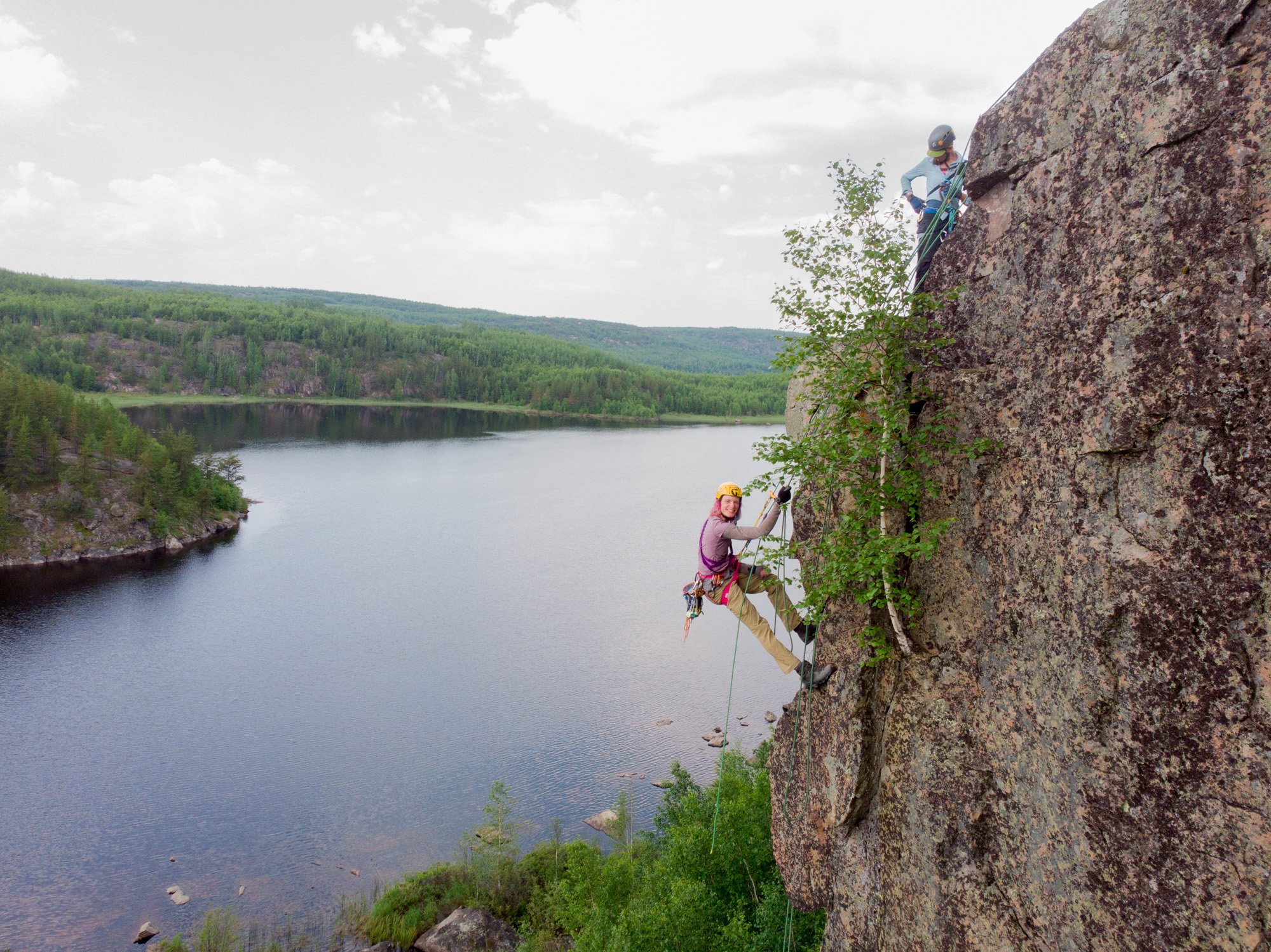
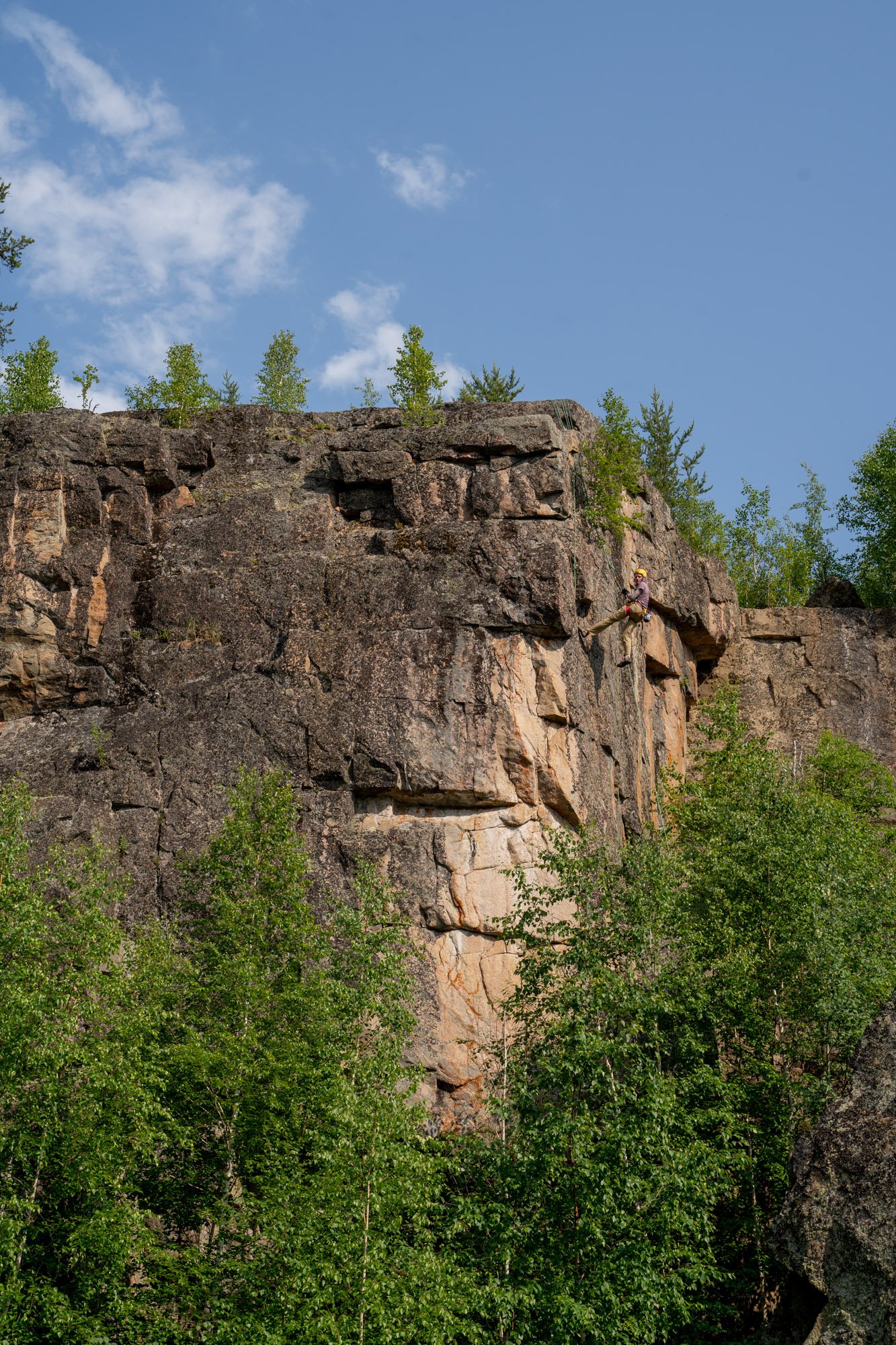
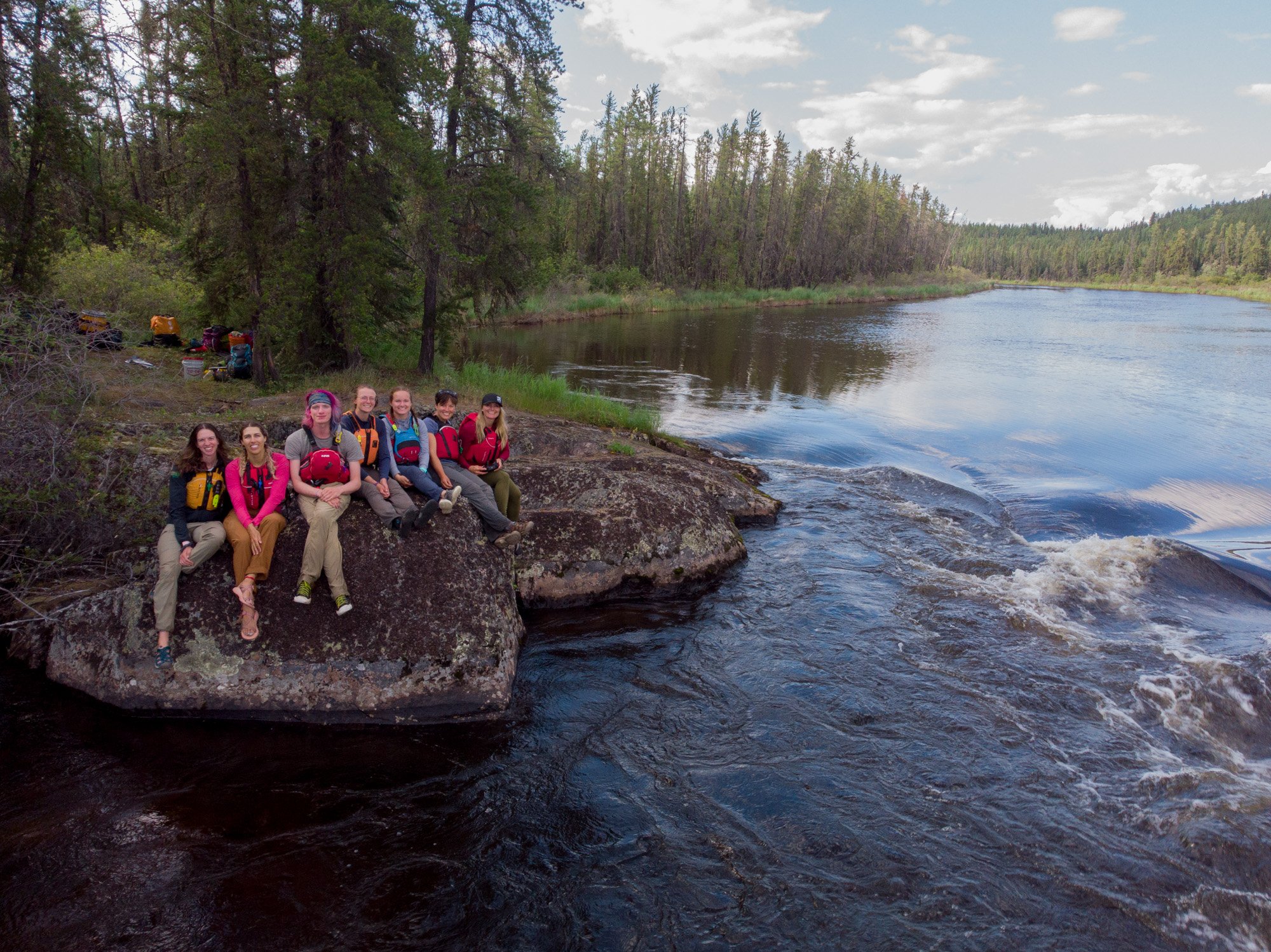
On the morning of our eight day, we loaded up our climbing gear and daypacks and set off for these cliffs. Rounding a bend to where they were marked on our map, Ada called out “I don’t know guys, I don’t think it’s worth it,” as we all laughed at her sarcasm. This crag, perched on a collection of boulders separated by lake water was everything we had dreamed of and worth every paddle stroke to get there.
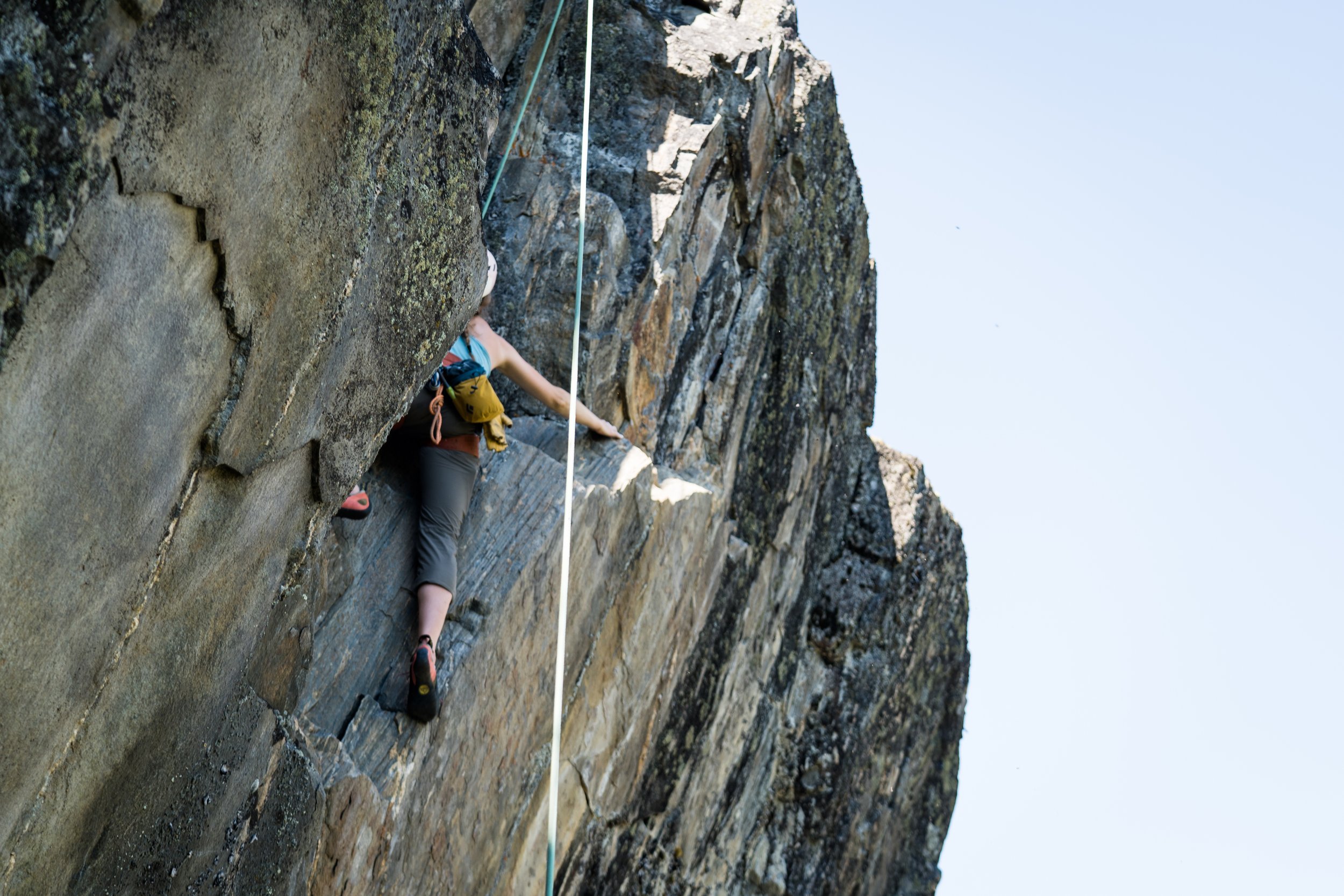
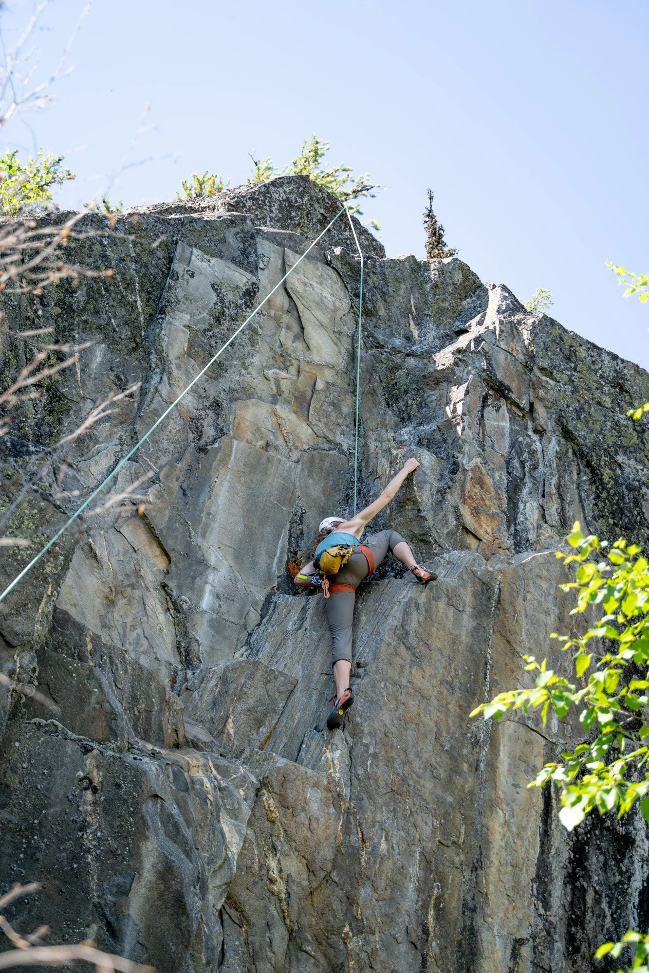
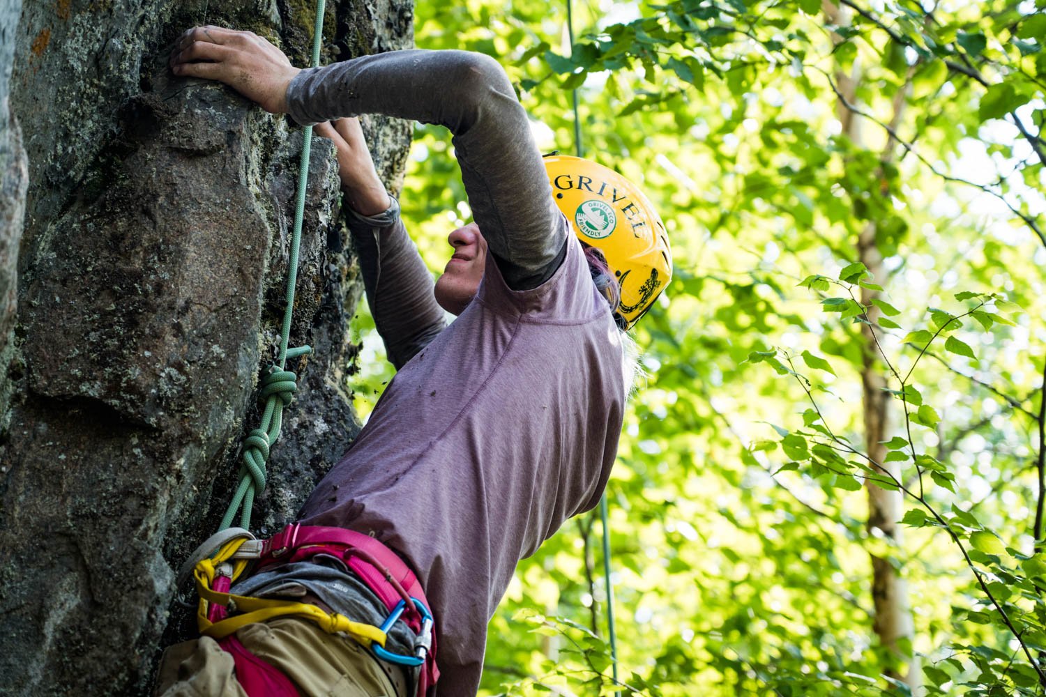
We immediately got to work. We first wrapped a sling around the horn of a 10ft boulder. We named the 5.7 graded route “Bonnie and Brian.”. Our main objective was a 20m route that climbed as a high 5.10. The trees above this one were easier to build an anchor than on our first day. We were able to get it set with relative ease and named the climb “Nice Tarp.” We enjoyed the challenge of a significant crux at the beginning with solid moves and beautiful exposure as we progressed.
When we debriefed on our last night together, we had clearly established there is great potential for the future of outdoor climbing in Saskatchewan. It won’t look the same as other regions with well established crags that are easy to access. But the adventure of getting there is part of the fun. As potential for traffic picks up, conversations need to be had with local Indigenous communities and trappers about visitors using the land in this way. A set of climbing ethics for the region needs to be created and made available and a group of climbers need to come forward to monitor and maintain the area for safety and sustainability.
The next step in my opinion? The formation of a Saskatchewan Climber’s Access Society.
This trip was made possible through a grant from the Jen Higgins Fund of The Alpine Club of Canada and with support from Churchill River Canoe Outfitters.

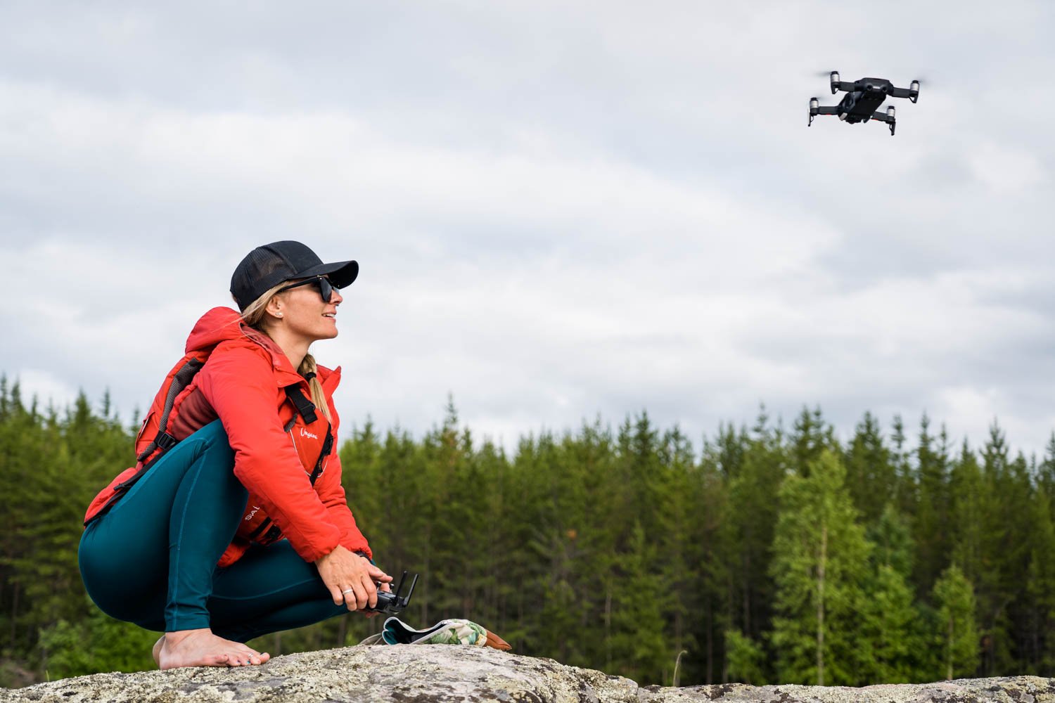
All drone images (plus anything that I’m in and a couple others) by Ashlyn George
Additional media coverage: